2020:767 - CARTRONAGOR (9), Roscommon
County: Roscommon
Site name: CARTRONAGOR (9)
Sites and Monuments Record No.: N/A
Licence number: Registration No. E5204, Ministerial Direction No. A077
Author: John Channing, c/o Archaeological Management Solutions Ltd.
Author/Organisation Address: Fahy’s Road, Kilrush, Co. Clare
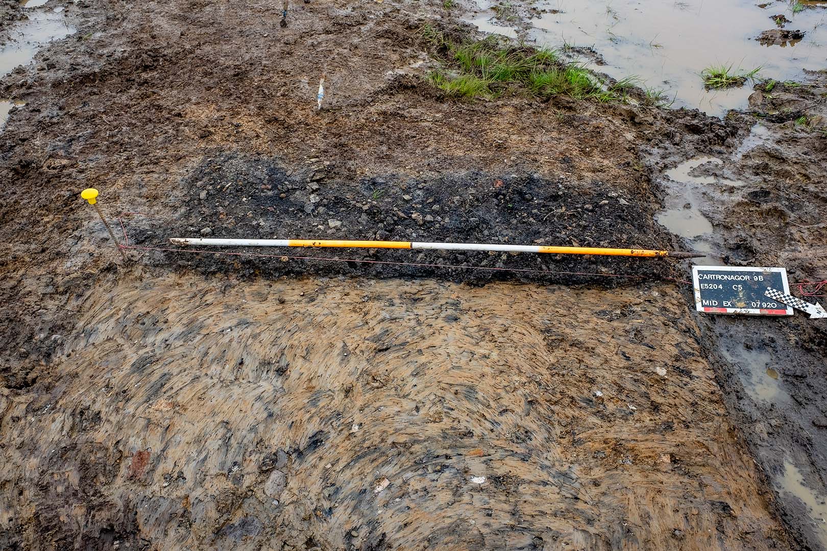
Site type: Burnt spread and Pit
Period/Dating: Bronze Age (2200 BC-801 BC)
ITM: E 582736m, N 787648m
Latitude, Longitude (decimal degrees): 53.838035, -8.262299
Cartronagor 9 was excavated in advance of construction of the N5 Ballaghaderreen to Scramoge Road Project in County Roscommon by Archaeological Management Solutions (AMS) for Roscommon County Council (RCC) and Transport Infrastructure Ireland (TII). The site consisted of two cuttings (A and B) which contained a pit and two deposits of burnt material respectively, and was located in boggy terrain in felled forestry. It was identified during Stage (i)m Test Excavations, carried out by AMS under Ministerial Direction (Direction No. A077, Registration No. E5070; Hardy 2021).
Cutting A contained a shallow, sub-circular pit measuring 0.34m long by 0.31m wide and 0.05m deep with a shallow dished profile containing a greyish-brown clayey slit with occasional charcoal flecks. Its western side was fully truncated by a furrow. A sample of alder charcoal from the fill of the pit was dated to the Early to Middle Bronze Age, 1876–1625 cal. BC (UBA-48074; 3432±33BP). Ten fragments of burnt animal bone were recovered from within its fill, two of which were identified as sheep/goat or pig.
Cutting B contained two deposits of burnt material 9.9m apart. The eastern part of the deposit was largely intact, while the western part was very disturbed by machine tracks, agricultural furrows and tree roots. Modern disturbance split the deposit into two areas, which formed a sub-oval deposit with irregular edges forming a heavily disturbed burnt spread. The eastern deposit was 2.11m long by 2m wide and 0.05m deep and consisted of a layer of charcoal-stained dark greyish-black sandy silt containing heat-shattered sandstone.
The western deposit measured 10.8m long by 0.3m wide and 0.05m deep and comprised a layer of charcoal-stained dark greyish-black sandy silt containing heat-shattered sandstone. The deposit was truncated by modern activity, agricultural furrows and a field boundary/drain on its western side. The remnants of a parallel set of faint agricultural furrows ran over the burnt spreads on an approximate west–east line. A sample of alder charcoal from the western spread was dated to the Chalcolithic period, 2462–2206 cal. BC (UBA-48075; 3864±36BP).
A single flint scraper was recovered in the eastern burnt spread (E5204:1). Charcoal from the fill of the pit and the burnt spreads consisted of alder, oak, hazel, ash and pomaceous fruitwood.
Reference
Hardy, C. 2021. N5 Ballaghaderreen to Scramoge Road Project Stage (i)a, (i)b, (i)c Test Excavation, Stage (i)m Testing in Felled Forestry and Stage (i)f Townland Boundary Survey. Ministerial Direction No. A077, Registration No. E5070. Unpublished AMS report for TII and RCC.