2020:738 - LUGBOY (1), Roscommon
County: Roscommon
Site name: LUGBOY (1)
Sites and Monuments Record No.: N/A
Licence number: E5191
Author: Brian O'Hara and Kevin Kearney, AMS
Author/Organisation Address: Fahy's Road, Kilrush, Clare
Site type: Charcoal-making site and Kiln - corn-drying
Period/Dating: Early Medieval (AD 400-AD 1099)
ITM: E 589840m, N 786217m
Latitude, Longitude (decimal degrees): 53.825363, -8.154318
Lugboy 1 was excavated in advance of construction of the N5 Ballaghaderreen to Scramoge Road Project in County Roscommon by Archaeological Management Solutions (AMS) for Roscommon County Council and Transport Infrastructure Ireland.
The site was identified during Stage (i)a Test Excavations carried out by AMS under Ministerial Direction (Direction No. A077, Registration No. E5070) (Hardy 2021). Lugboy 1 consisted of 25 pits, eight stake-holes and a post-hole excavated in fifteen cuttings: Areas A–O. The on-site Stage (iii) Excavation Services at Lugboy 1 were undertaken by AMS between 4 August and 2 October 2020.
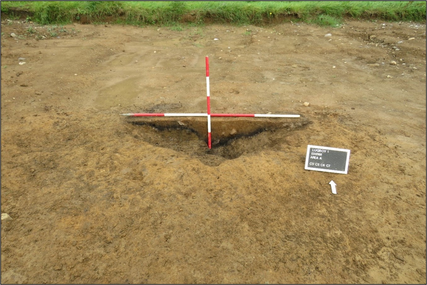
Lugboy 1 comprised 25 pits, eight stake-holes and a post-hole. Four of the pits are likely to have functioned as cereal-drying kilns and at least five as charcoal-production pits. The remainder likely served a wide variety of functions, from storage to waste disposal.
The four cereal-drying kilns were oval to sub-oval in plan and measured 1.98–3.6m long, 0.73–2.3m wide, 0.11–0.44m deep. One of the kilns was cut at the base by a series of eight stake-holes (ranging in size from 0.22m long, 0.2m wide, 0.15m deep to 0.12m long, 0.1m wide, 0.14m deep) and was cut to the south-eastern side by a possible channel/flue measuring 0.73m long, 0.12m wide and 0.1m deep. Large stones recorded in it and in the fills of the others likely represented the collapsed remains of the overlying kiln structure. Charred barley and oats were recovered from the fill of only one of the kilns, while the disarticulated lower limbs of an individual, dated to cal. AD 993–1151 (UBA-48102; 1002±26BP) were recovered from the secondary fill of another of these kilns. Charred barley and oak charcoal from two kilns were dated to cal. AD 607–771 (UBA-48101; 1369±26BP) and cal. AD 1028–1157 (UBA-48100; 959±26BP).
The pits ranged in size from 5.12m long, 3.38m wide, 0.42m deep to 0.32m long, 0.23m wide, 0.12m deep. Five of the pits recorded evidence of in-situ burning and oxidisation of the base and sides, while the fills of these produced an abundance of oak, suggesting that these were charcoal-production pits. Oak charcoal from one charcoal-production pit was dated to cal. AD 991–1147 (UBA-48098; 1017±25BP). The remaining sixteen pits likely served various functions from storage to waste disposal. Oak charcoal from one pit was dated to cal. AD 977–1033 (UBA-48099; 1040±23BP), while the flint flakes recovered from two others may indicate a prehistoric origin for these.
A total of three finds, two flint flakes and a flint blade, were recovered from the site. Charcoal from the early medieval/medieval pits and majority of the kilns consisted primarily of oak and hazel, while hazel, ash, willow, oak and pomaceous fruitwood was identified in one of the kilns. Charred barley and oats, in addition to the calcined remains of cow and sheep/goat, were also recovered from one of the kilns.
This report summary was submitted on behalf of its authors.
Reference
Hardy, C. 2021. N5 Ballaghaderreen to Scramoge Road Project Stage (i)a, (i)b, (i)c Test Excavation, Stage (i)m Testing in Felled Forestry and Stage (i)f Townland Boundary Survey. Ministerial Direction No. A077, Registration No. E5070. Unpublished AMS report for TII and RCC.