2020:341 - CREEVE (1), Roscommon
NMI Burial Excavation Records
County: Roscommon
Site name: CREEVE (1)
Sites and Monuments Record No.: N/A
Licence number: E005127
Author: Ger Dowling, Archaeological Management Solutions
Author/Organisation Address: Unit 1, Hector Street Mills, Kilrush, Co. Clare
Site type: Burnt spread
Period/Dating: Prehistoric (12700 BC-AD 400)
ITM: E 584117m, N 786885m
Latitude, Longitude (decimal degrees): 53.831222, -8.241277
Creeve 1 was excavated in advance of construction of the N5 Ballaghaderreen to Scramoge Road Project in County Roscommon by Archaeological Management Solutions (AMS) for Roscommon County Council (RCC) and Transport Infrastructure Ireland.
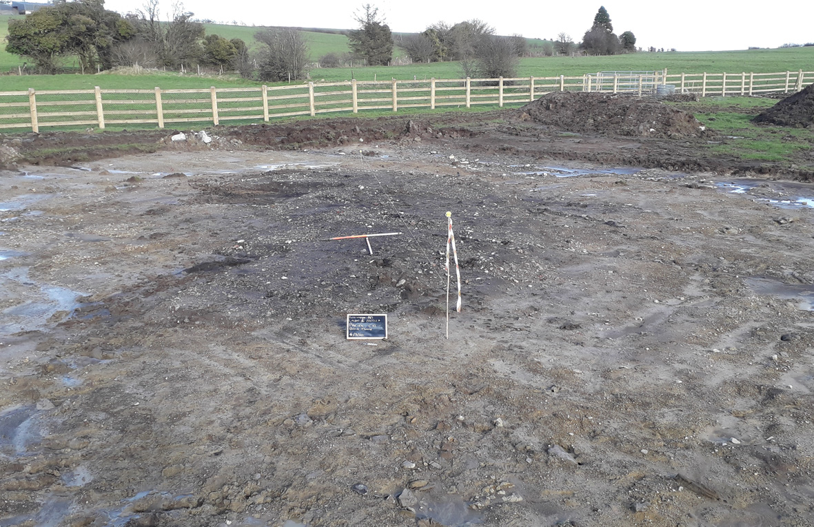
It consisted of three burnt spreads located in pastureland, immediately to the east of a conifer plantation. The site was initially identified by geophysical survey (Registration No. R000509), conducted by Target Archaeological Geophysics Ltd (Nicholls 2019), as comprising a rectilinear concentration of weakly positive responses indicative of burnt material. The subsurface remains of three discrete burnt spreads were subsequently revealed during Stage (i)a Standard Test Excavations, carried out by AMS under Ministerial Direction (Direction No. A077, Registration No. E5070; Hardy 2021).
The burnt spreads were identified in three separate areas of the site: Area 1a–Area 1c. The spread in Area 1a consisted of a layer of loose, charcoal-rich silty clay and frequent heat-shattered red and yellow sandstone. It was roughly oval in plan, with a northeast– southwest long axis. It measured approximately 1.72m by 1.04m and survived to a depth of 0.05m. No associated pits or troughs were identified. A sample of hazel charcoal from this spread was dated to the Late Bronze Age, 1108–913 cal. BC (UBA-46755; 2838±27BP).
Area 1b contained a shallow, irregular spread of burnt material composed of a moderately compacted, charcoal-rich silty clay and frequent heat-shattered sandstone. Orientated northwest–southeast, it had maximum dimensions of 3.4m by 1.6m and averaged 0.06m in depth. A subcircular pit or trough, c.1.28m long, 1.22m wide and 0.34m deep, was found beneath the burnt spread material, on its northwest. The trough contained four fills that either appear to have been associated with the use of the trough or developed after its abandonment. A sample of hazel charcoal from its secondary fill was dated to the Early Bronze Age, 2202–1985 cal. BC (UBA-46756; 3716±31BP). Organic residue (lipid) analysis from the stones in this fill indicated the presence of vegetation-derived organic matter of a woody origin, possibly roots found in soil.
The largest of the burnt spreads was found in Area 1c. Here, a roughly sub-rectangular layer of moderately compacted, heat-fractured red and yellow sandstone within a charcoal-rich silty clay matrix extended over an area measuring approximately 10.1m long (northeast–southwest) by 5m wide (northwest–southeast). It was 0.3m in average depth and partially covered an oval trough with three fills. A sample of cherry charcoal from the troughs basal fill was dated to the Early Bronze Age, 2111–1887 cal. BC (UBA46757; 3609±29BP).
No artefacts or ecofacts were found during the investigations. Charred wood macroremains from the burnt spread and fills of the troughs identified charcoal of several taxa, including hazel, ash, alder, oak, willow, blackthorn/cherry and pomaceous fruitwood.
The spreads at Creeve 1 may be associated with a burnt mound (RO022-163) identified a short distance to the south, and a large burnt spread excavated c.450m to the northwest at Creeve 2 (Mullins & Kearney 2022).
References
Hardy, C. 2021. N5 Ballaghaderreen to Scramoge Road Project Stage (i)a, (i)b, (i)c Test Excavation, Stage (i)m Testing in Felled Forestry and Stage (i)f Townland Boundary Survey. Ministerial Direction No. A077, Registration No. E5070. Unpublished AMS report for RCC and TII.
Mullins, G. & Kearney, K. 2022. N5 Ballaghaderreen to Scramoge Road Project Stage (iv) Final Report: Creeve 2. Unpublished report by AMS for RCC and TII.
Nicholls, J. 2019. Geophysical Survey Report, N5 Ballaghaderreen to Scramoge Road Project, Co. Roscommon. Unpublished report prepared by Target Archaeological Geophysics Ltd on behalf of Archaeological Management Solutions.