2020:652 - BLACKCASTLE DEMESNE, Dunmoe, Harmanstown, Stackallan, Cruicetown, Meath
County: Meath
Site name: BLACKCASTLE DEMESNE, Dunmoe, Harmanstown, Stackallan, Cruicetown
Sites and Monuments Record No.: N/A
Licence number: 20E0222
Author: Tim Coughlan, c/o IAC Archaeology Ltd.
Author/Organisation Address: Unit G1 Network Enterprise Park, Kilcoole, Co. Wicklow
Site type: Kiln, Pit and Enclosure
Period/Dating: Multi-period
ITM: E 689254m, N 770518m
Latitude, Longitude (decimal degrees): 53.676767, -6.649079
A programme of archaeological testing was undertaken in advance of the N51 Dunmoe Phase II Scheme, County Meath. A total of 15,868 m2 of trenches (7934m length, 2m width) were excavated across the scheme, which represented 12.3% of the greenfield lands available for testing (excluding lands constrained by services, overgrowth and access). Three sites of archaeological potential were identified – Cruicetown 1, Dunmoe 1 and Dunmoe 2.
Cruicetown 1 is the site of a single kiln. Kilns can often be located away from settlement activity so the single feature at Cruicetown 1 is not unusual for its type.
Dunmoe 1 is the site of a burnt mound and associated pits with burnt mound-type fills. Burnt mounds are often identified adjacent watercourses or in wetter marginal landscape. The presence of a large number of field drains in the immediate vicinity of the site suggests an area that traditionally is poorly drained and possible stream/channel and gravel deposits may indicate a spring or water source. The site is not unusual in this environment.
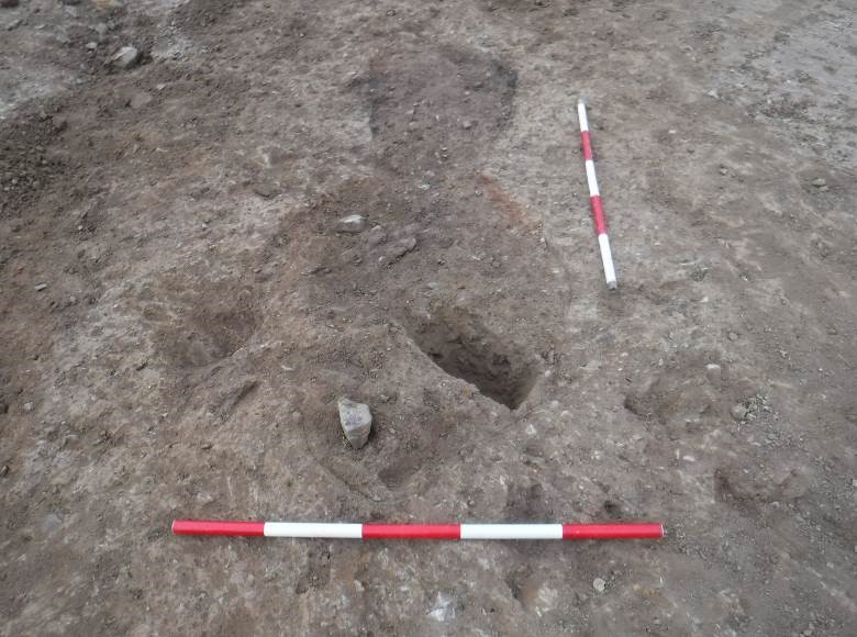
Dunmoe 2 identified the partial remains of a possible ringditch and an associated pit. The excavation of additional trenches in the vicinity failed to confirm the further extent of the curvilinear feature initially identified however the presence of a small sherd (fragments) of prehistoric pottery from the fills indicate the potential significance of these features. The single trench across the current tree-lined banked field boundary confirmed the presence of a boundary ditch located directly to the east of the bank. The boundary functioned as a townland boundary as depicted on the first edition OS map.

