2020:520 - KILKENNY: New Street/Walkin Street, Walkinslough, Kilkenny
County: Kilkenny
Site name: KILKENNY: New Street/Walkin Street, Walkinslough
Sites and Monuments Record No.: N/A
Licence number: 20E0147
Author: Edel Barry, Thaddeus Breen & Seán Shanahan; Shanarc Archaeology Ltd.
Author/Organisation Address: Unit 39a, Hebron Business Park, Hebron Road, Kilkenny
Site type: Historic town
Period/Dating: Multi-period
ITM: E 650336m, N 655577m
Latitude, Longitude (decimal degrees): 52.649054, -7.256129
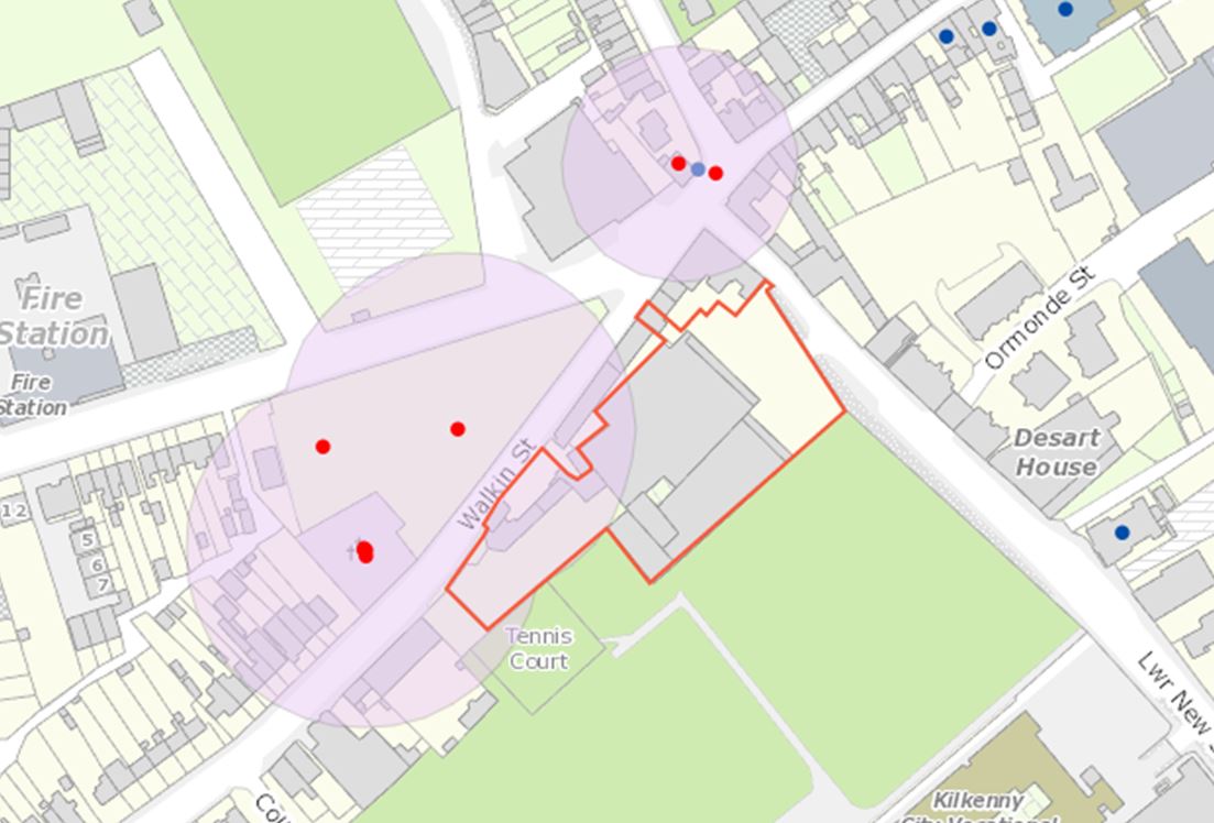
Archaeological test excavations were carried out between 16–22 July 2020, on a site located at the junction of Walkin Street and Lower New Street, Walkinslough, Kilkenny, in relation to the proposed demolition of open-plan warehouses and the construction of a three-storey hotel, under planning reference 07/145.
The proposed development site is located outside and to the west of the historic town of Kilkenny (RMP KK019-026) and its associated town defences (RMP KK019-026001). Walkin Street was one of the principal routeways leading to and from the medieval city, and buildings of 18th-century date remain upstanding on the street immediately adjacent to the proposed development site’s north-west boundary.
A total of 13 test trenches were machine-excavated across the site. Trenches measured 1.8–2.2m in width, 15–35m in length and 0.2–1.65m in depth. No features or finds of archaeological interest relating to the adjacent St Rioc’s graveyard, or to the medieval city, were identified during test-excavation. However, several features were exposed that are consistent with the post-medieval use of the site. These include drainage channels/service trenches and stone and brick wall footings, which relate to structures constructed on the site during its use as a Bottling Store for Smithwick’s brewery. Layers comprising glass bottle shards were revealed in Trenches 5 and 11, which again relate to this former use.