2020:048 - BROWNSTOWN LOWER, Kildare
County: Kildare
Site name: BROWNSTOWN LOWER
Sites and Monuments Record No.: N/A
Licence number: 19E0746
Author: Steven McGlade
Author/Organisation Address: Archaeology Plan, 32 Fitzwilliam Place, Dublin 2
Site type: Burnt pit
Period/Dating: Prehistoric (12700 BC-AD 400)
ITM: E 677578m, N 710398m
Latitude, Longitude (decimal degrees): 53.138454, -6.840544
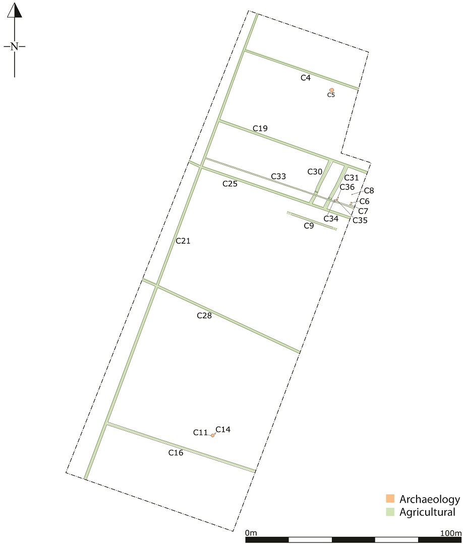
A programme of archaeological monitoring was carried out on a site at Brownstown Lower, Co. Kildare from September 2019 to March 2020. The site was the final phase of a housing development. No archaeological investigations were carried out for the earlier phases of the development, however an archaeological assessment and testing programme was carried out on the current site in 2018 (Licence No. 18E0395; Excavations Ref. 2018:103). The site is located just south of the rich archaeological landscape of the Curragh, with the closest RMP being a ring barrow (KD028-002–) c. 85m to the north.
Two fire-pits were identified, one of which was associated with two post-holes that may represent a spit. Five abraded sherds of prehistoric pottery were retrieved from a small pit adjacent to the second fire-pit. Post-excavation is on-going and will include the analysis of the pottery and environmental samples. A radiocarbon date will also be sought.
The remainder of the features uncovered related to post-medieval and modern agricultural ditches, some of which are depicted on Ordnance Survey maps. Other ditches uncovered conform with these ditches in their scale and orientation and are likely to relate to the same period of field enclosure and drainage. A post-medieval well filled with modern debris was also uncovered.