2020:546 - FARRANNACARRIGA (2), Kerry
County: Kerry
Site name: FARRANNACARRIGA (2)
Sites and Monuments Record No.: N/A
Licence number: E005274
Author: Zbigniew Malek, Archaeological Management Solutions Ltd.
Author/Organisation Address: Fahy’s Road, Kilrush, Co. Clare
Site type: Burnt mound, Charcoal-making site and Furnace
Period/Dating: Bronze Age (2200 BC-801 BC)
ITM: E 457450m, N 601245m
Latitude, Longitude (decimal degrees): 52.144641, -10.082834
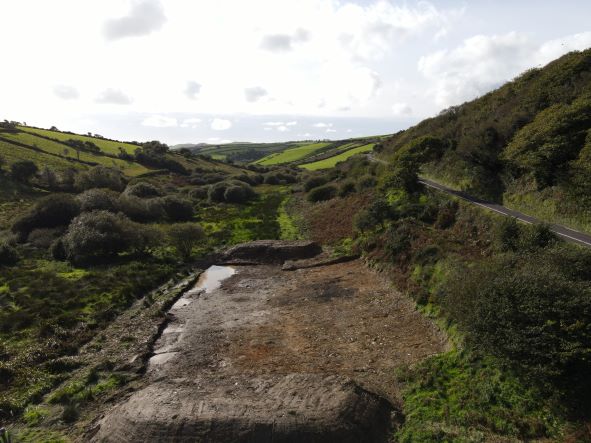
Stage (iii) Excavation was carried out between 30 October and 11 November 2020 at the site of Farrannacarriga 2 in advance of construction of the N86 Ballynasare Lower to Annascaul and Doonore North to Ballygarret Road Improvement Scheme, Co. Kerry. The work was carried out under Ministerial Direction Number A070 and Registration Numbers E005274 (Excavation) and R000545 (Metal Detection), on behalf of Kerry County Council. The site was discovered in the eastern area of the Ballynasare Lower to Annascaul section of the scheme in the townland of Farrannacarriga during advance Stage (i) Test Excavations undertaken in 2020 by Archaeological Management Solutions Ltd.
Farrannacarriga 2 consisted of a burnt mound and associated features, a metalworking furnace and a charcoal-production pit. Post-medieval/modern furrows and a pit were also recorded.
The burnt mound was irregular in plan, measured 8m by 5m by 0.14m in depth, and consisted of a single deposit of heat-shattered stones in charcoal-rich matrix. Associated features included a hearth, a trough, a gully, two pits, a post-hole and a spread. The hearth comprised an irregular-shaped area of red-scorched natural subsoil and measured 1.8m by 1.34m. The trough was sub-rectangular in plan, measured 1.28m by 1.14m by 0.38m in depth and contained four fills. Stone lining was revealed in the north-north-west and west-south-west edges of the cut. The basal fill consisted of a charcoal-rich deposit with heat-shattered stones. A later alteration to the stone lining was identified in the east-north-east edge of the cut. A single stone was placed and supported by soil and packed with unburnt stones, resulting in the construction of a compartment which was filled with heat-affected stones. Two pits, a post-hole and a spread were recorded in proximity to the trough. To the west of the trough was a curvilinear drainage gully that measured 4.7m by 1.04m by 0.4m and contained two fills.
The metalworking furnace was sub-oval in plan and measured 0.77m by 0.65m by 0.2m in depth. It contained a single charcoal-rich fill with frequent lumps of slag. A large mass of slag was found at the bottom of the furnace, which had in-situ burning of the subsoil at the base sides of the cut. The charcoal-production pit was oval in plan and measured 2.44m by 1.3m by 0.16m in depth and contained two fills, one of which was charcoal rich. Three lumps of slag were retrieved from the charcoal-production pit.
The post-medieval/modern furrows and pit truncated the burnt mound. The pit was rectangular in plan, with sharp corners and measured 1m by 0.8m by 0.15m in depth and contained a single fill.
No artefacts were recovered. In the absence of absolute dating, it would not be unreasonable to suggest a Bronze Age date for the burnt mound and associated features and an Iron Age or medieval date for the metalworking furnace and charcoal-production.
Post-excavation analysis is ongoing and it is anticipated that specialist reports, including radiocarbon dating and comparative research, will further enhance our understanding of the site.