2020:673 - LISPOPPLE: Church Road, Dublin
County: Dublin
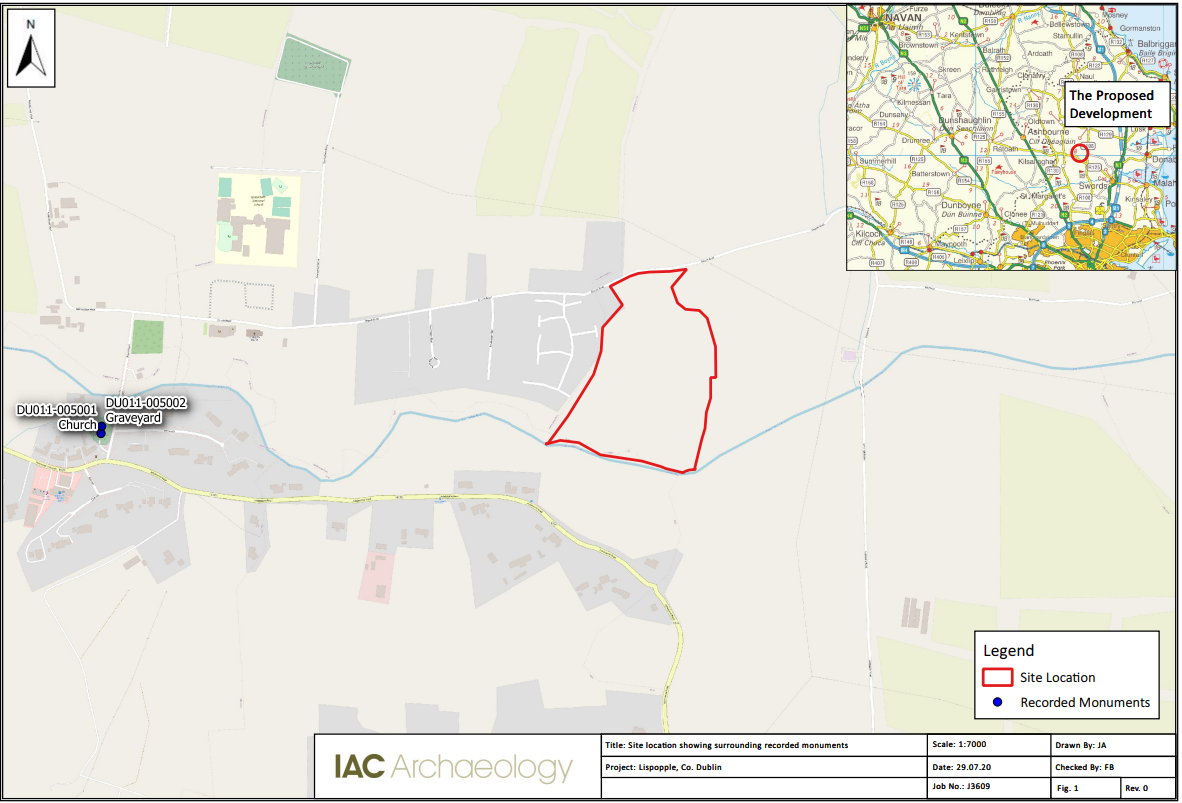
Site name: LISPOPPLE: Church Road
Sites and Monuments Record No.: N/A
Licence number: 20E0327
Author: Red Tobin, c/o IAC Archaeology Ltd.
Author/Organisation Address: Unit G1 Network Enterprise Park, Kilcoole, Co. Wicklow
Site type: No archaeology found
Period/Dating: N/A
ITM: E 713445m, N 750155m
Latitude, Longitude (decimal degrees): 53.489167, -6.290491
A programme of archaeological testing was carried out on 20 July 2020 at Church Road in the townland of Lispopple, County Dublin. A total of eight trenches were excavated across the site, measuring 532 linear metres. It followed a geophysical survey carried out by J.M. Leigh Surveys in June 2020 (Licence No. 20R0109). No anomalies of definite archaeological potential were identified within the proposed development area during the course of geophysical survey.
In general, topsoil (C1) possessed a maximum depth of 0.6m and consisted of a mid-brown silty clay over mid-orange brown sandy clay natural subsoil (C2). A number of agricultural drains were identified in Trenches 1, 3, 4, 5, 6 and 7.
No features of archaeological potential were identified during the course of testing. Nevertheless, there remains the potential for small-scale or isolated archaeological features to survive outside of the footprint of the excavated trenches.