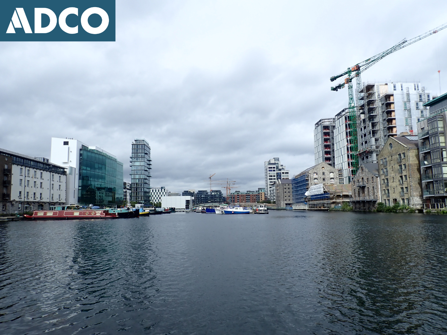
2020:387 - DUBLIN: Grand Canal Docks and River Liffey at Sir John Rogerson's Quay, Dublin
County: Dublin
Site name: DUBLIN: Grand Canal Docks and River Liffey at Sir John Rogerson's Quay
Sites and Monuments Record No.: DU018-020201, NIAH 50020465, NIAH 50020499
Licence number: 20D0039, 20R0144
Author: Rex Bangerter (ADCO)
Author/Organisation Address: No. 2 Main Street, Bennettsbridge, Co. Kilkenny
Site type: Canal and Quay
Period/Dating: Modern (AD 1750-AD 2000)
ITM: E 717344m, N 733968m
Latitude, Longitude (decimal degrees): 53.342912, -6.237790
An Underwater Archaeological Impact Assessment (UAIA) of the proposed in-water extent of the works area associated with the Grand Canal Surface Water Outfall (GCSWO) project was carried out by ADCO on 8 September 2020.
Visual inspection, including targeted metal-detection, was employed to assess the archaeological potential of the underwater environment across the canal-bed, focused along the proposed pipeline corridor. The assessment extended across a 448m north-south x 90m area of the Grand Canal Basin. In addition, a survey of the riverbed/quayside at the proposed location of the discharge outlet (outfall) was undertaken, encompassing a 15m (north-south) x 40m area. A buffer zone was incorporated into both assessment areas, extending the underwater survey beyond the anticipated impacts associated with the installation of the pipeline and discharge outlet.
The archaeological assessment was systematic and comprehensive. No archaeologically significant material, structures, or deposits were encountered as part of the underwater survey; features of interest being limited to Sir John Rogerson’s Quay (DU018-020201, NIAH 50020465) and the nineteenth-century quay structures that delineate the Grand Canal Docks (NIAH 50020499).

