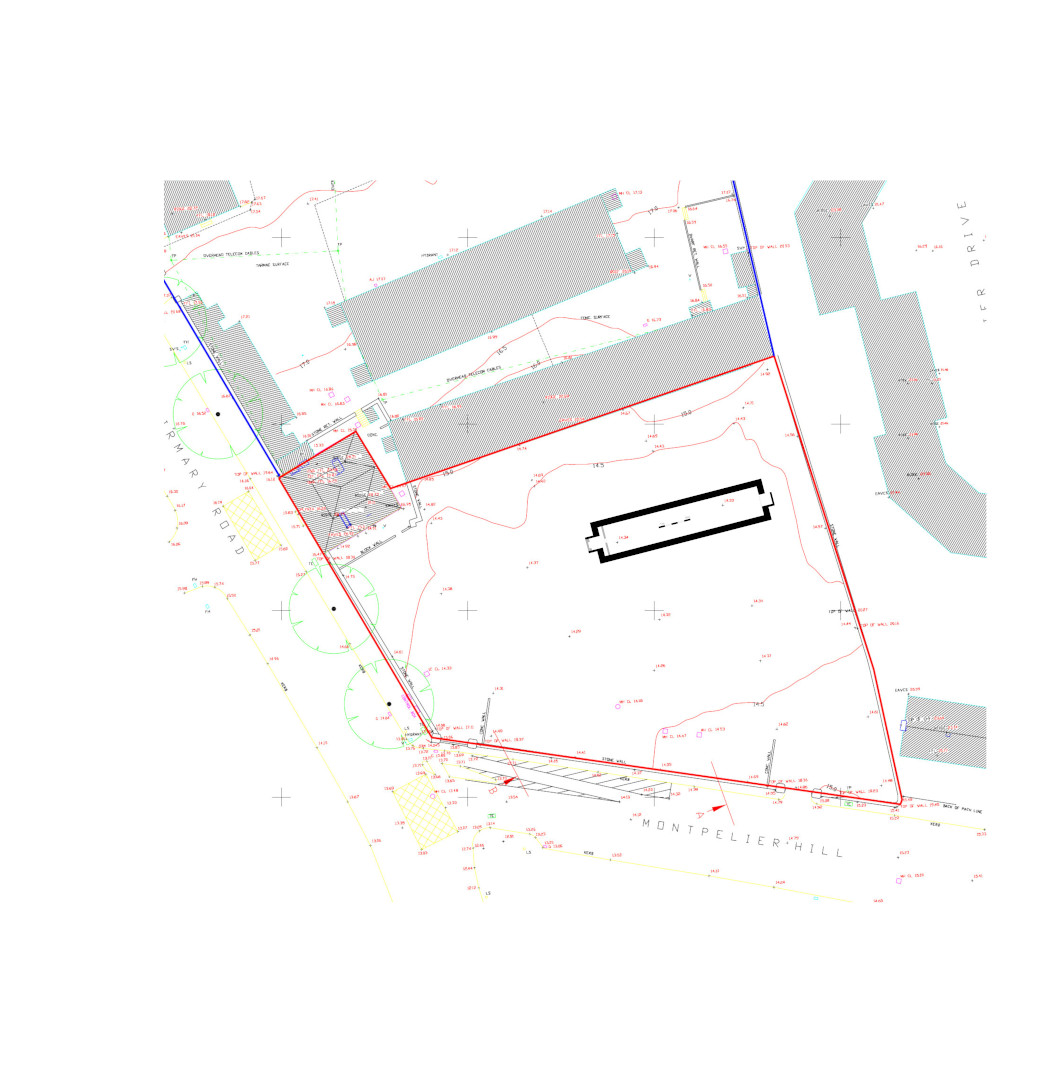
2020:383 - DUBLIN 7: Former Military Barracks, Infirmary Road, Dublin
County: Dublin
Site name: DUBLIN 7: Former Military Barracks, Infirmary Road
Sites and Monuments Record No.: N/A
Licence number: 18E0402
Author: Antoine Giacometti, Archaeology Plan
Author/Organisation Address: 32 Fitzwilliam Place, Dublin 2
Site type: Barracks
Period/Dating: Modern (AD 1750-AD 2000)
ITM: E 713546m, N 734580m
Latitude, Longitude (decimal degrees): 53.349238, -6.294578
Further archaeological monitoring works took place on this site in 2020, following on from works in 2018. The 2020 works focused on the foundations and cellar of the Ordnance Stores, an imposing building constructed in c. 1811 as a military store, and subsequently expanded over the course of the 19th century and early 20th century, until its destruction by fire in 1983. An opening was made into the top of the cellar and it was found to be empty, containing no ordnance. The cellar will be recorded and demolished to make way for the new development on the site.

