2020:356 - PODDLE PARK, Kimmage, Dublin
County: Dublin
Site name: PODDLE PARK, Kimmage
Sites and Monuments Record No.: DU022-078
Licence number: 20E0033
Author: Yvonne Whitty
Author/Organisation Address: Unit 10 Riverside Business Centre, Tinahely, Co. Wicklow
Site type: No archaeology found
Period/Dating: N/A
ITM: E 713487m, N 731021m
Latitude, Longitude (decimal degrees): 53.317280, -6.296738
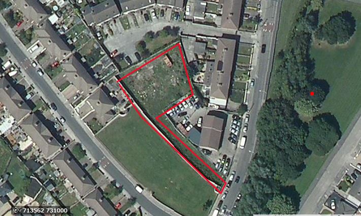
Archaeological monitoring was carried out during construction works associated with a proposed development at Poddle Park, Kimmage, Dublin 12. The site is partially within the Zone of Archaeological Constraint for DU018-020 (Dublin City) and is also on the border of the Zone of Archaeological Constraint for DU022-078 (Windmill site).
No finds or features of archaeological significance were exposed in any of the foundation trenches for the proposed housing development at Poddle Park. The natural ground was overlain by a layer of cultivated soil which, based on the finds assemblage and cartographic analysis, dated to the nineteenth century and later. The ground level appears to have been reduced in the 19th and 20th centuries and both the north-east and south-western ends of the site have been significantly disturbed. Natural ground was exposed in the centre of the site only and no finds or features of archaeological significance were exposed.