2020:276 - DUBLIN: 1-6 Haymarket, Dublin
County: Dublin
Site name: DUBLIN: 1-6 Haymarket
Sites and Monuments Record No.: DU18-020
Licence number: 19E0621
Author: Judith Carroll, Judith Carroll and Company
Author/Organisation Address: Ballybrack Road, Glencullen, Dublin 18
Site type: Historic town
Period/Dating: Multi-period
ITM: E 714587m, N 734409m
Latitude, Longitude (decimal degrees): 53.347477, -6.279012
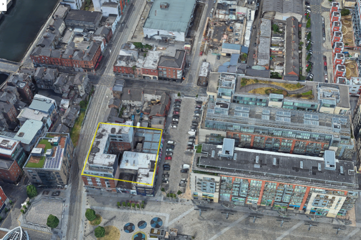
The development site comprised Nos 1–6, Haymarket, Dublin 7, a block of buildings bounded by Haymarket to the north, Bridewell Lane to the south, Smithfield Square to the east and Burgess Lane to the west. The site of the development, though in an area of archaeological potential, was impacted to natural gravel level by basements and a carpark.
Demolition work started in 2019 but the bulk of the excavation took place when the site was piled and subsurface works began in 2020. Monitoring this year took place between January and September 2020, outside the closure of the site between March to June due to Covid 19 restrictions.
An Archaeological Impact Statement (AIA) was prepared prior to licence application in 2019 and showed that the site was in an area of archaeological potential. However, it was concluded, from the depth of the underground carpark (which occupied most of the site) and borehole evidence, that archaeological material was unlikely to have survived to any great extent, if at all.
Monitoring of demolition, followed by monitoring of bulk excavation, bore out the results of the AIA. The contractor’s works, which involved digging to a depth of seven metres, revealed that most of the site had been occupied by relatively modern deep basements and an underground carpark, which had removed all earlier material. One small area of the site, 10m x 10.5m, at the north-east corner, escaped the impact of deep basement and carpark digging in earlier years.
Monitoring and recording of works in this area revealed a complex of walls and drains cut into the mixed organic deposits, and in some cases (depending on the depth of the organic deposit), into the underlying gravels. Apart from a cobbled or metalled surface, the features comprised a complex of brick-built drains, consisting of a main drain (Drain 1) running roughly east-west across the site for at least 10m, with smaller but apparently contemporary offset drains feeding into it from the north (Drain 3) and south (Drains 2 and 4).
In all cases the construction of the drains was similar—parallel walls of red brick, generally 5–7 courses high and roughly 0.4m apart, sitting on a base of dark slate slabs and roofed with similar slate lintels. Pottery finds from levels associated with the drains, and in the surrounding area, would suggest the drains were late 18th century at the earliest.

