2020:163 - SWORDS: Ward River Valley Park, Dublin
County: Dublin
Site name: SWORDS: Ward River Valley Park
Sites and Monuments Record No.: N/A
Licence number: 20E0505
Author: Steven McGlade, Archaeology Plan
Author/Organisation Address: 32 Fitzwilliam Place, Dublin 2
Site type: No archaeology found
Period/Dating: N/A
ITM: E 716590m, N 746530m
Latitude, Longitude (decimal degrees): 53.455918, -6.244467
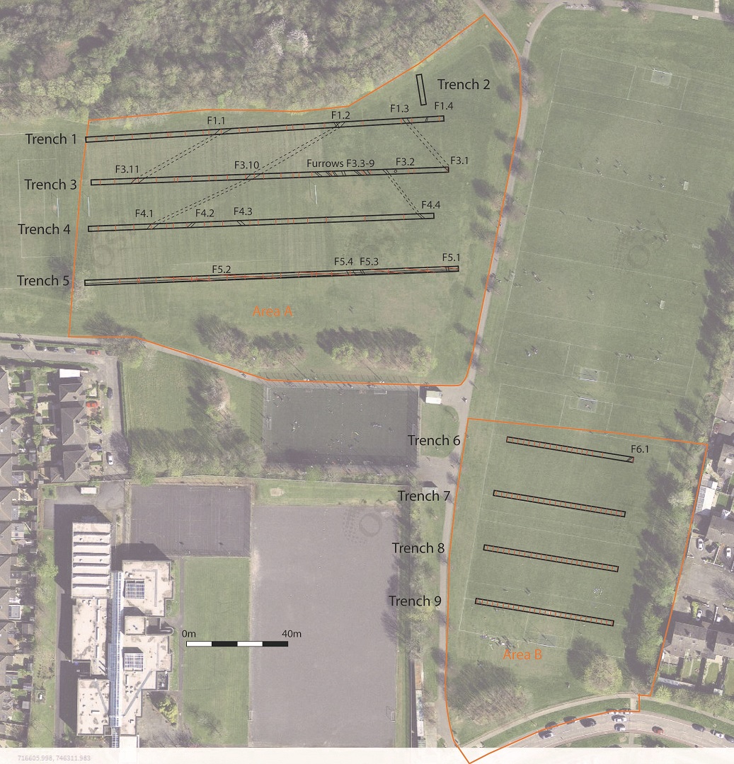
An archaeological test-trenching programme was carried out on the site of a proposed all-weather pitch and car park in Ward River Valley Park, Swords. An early 18th-century canal and fish pond estate feature (DU011-030) is located to the north of the proposed pitch. The desktop assessment did not indicate any known archaeological features within the proposed development, however previously unknown archaeological features were uncovered during groundworks in the vicinity of the site, particularly to the north in Mooretown/Oldtown and south in Rathingle.
The testing programme identified a number of agricultural features, including field ditches depicted on the 1830s Ordnance Survey map and a series of plough furrows relating to this former field system. No archaeological features were uncovered. The majority of the features uncovered were modern field drains associated with the existing playing fields.

