2020:115 - DUBLIN 8: TUD, Kevin Street Lower, Dublin
County: Dublin
Site name: DUBLIN 8: TUD, Kevin Street Lower
Sites and Monuments Record No.: DU018-020 & DU018-020195
Licence number: 19E0554
Author: Kim Rice, AMS–CRDS
Author/Organisation Address: 2 Grosvenor Terrace, Monkstown, Blackrock, County Dublin, A94 Y209
Site type: No archaeology found
Period/Dating: N/A
ITM: E 715432m, N 733266m
Latitude, Longitude (decimal degrees): 53.337026, -6.266744
Archaeological monitoring of site investigation works were carried out at the site of the former TUD campus, Kevin Street Lower, Dublin 8. The site, which encompasses an area of 1.44ha, is bounded by Kevin Street Lower to the north, New Bride Street to the west and Camden Row to the south. Church Lane transects the north-eastern section of the site, while Liberty Lane delimits its north-eastern edge. Kevin Street Library abuts the north-eastern part of the site, while St Kevin’s Park abuts its south-eastern edge.
The site occurs within the Zone of Archaeological Protection for Dublin City (DU018-020) and the posited site of a medieval house (DU018-020195) is located in its north-west corner. St Kevin’s Church and graveyard (DU018-020078) lie outside the proposed development area to the south-east.
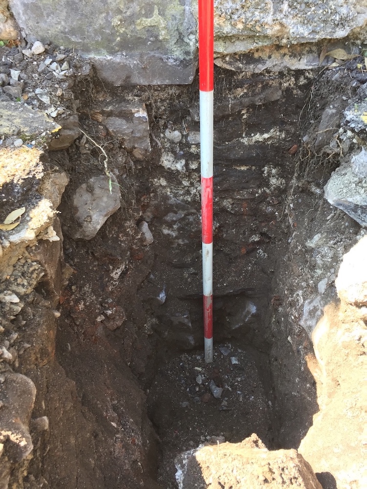
The archaeological monitoring followed on from a programme of testing under licence 19E0554 in November 2019. The site investigation works consisted of the excavation of seventeen trial pits, which investigated the foundations of the site boundary walls. No soils, features or finds of archaeological significance were impacted by the works, as the trial pits were only excavated to depths of 0.25–1.4m below ground level, meaning the recorded deposits dated to the nineteenth century or later.