2020:228 - CORK LINE LEVEL CROSSING PROJECT: XC211 Newtown: Newtown, Ballyhea, Cork
County: Cork
Site name: CORK LINE LEVEL CROSSING PROJECT: XC211 Newtown: Newtown, Ballyhea
Sites and Monuments Record No.: CO008-040
Licence number: 20E640 & 20R249
Author: Ian Russell, Archaeological Consultancy Services Unit
Author/Organisation Address: Unit 21, Boyne Business Park, Greenhills, Drogheda, Co Louth
Site type: No archaeology found
Period/Dating: N/A
ITM: E 554885m, N 618128m
Latitude, Longitude (decimal degrees): 52.312935, -8.661652
A programme of Advance Targeted Archaeological Test Excavations was carried out at Newtown, Ballyhea, Co. Cork ITM 554989, 618260 (N) to 554815, 617909 (S) in November 2020 as part of the Cork Line Level Crossings Project. The work was carried out on behalf of the client to help inform the preparation of an Environmental Impact Assessment Report for the preferred route.
The site is located within three large pasture fields, and its northern extent is within the zone of archaeological potential of a partially levelled Ringfort – rath (CO008-040—-) located adjacent to and west of the northern extent of the site. It is depicted on the first edition OS map of 1840 with the south-eastern bank appearing as the most substantial. By the time of the third edition OS map it is depicted as a circular area with a field boundary extending roughly north-east to south-west across it.
Prior to the archaeological testing a Geophysical (Fluxgate Gradiometer) survey (Dowling 2020) and high-resolution magnetic gradiometry survey (Nicholls 2020) was carried out under licence 20R0017. The anomalies identified in the course of geophysical survey of Field 1 were interpreted as associated with a partially levelled ringfort (CO008-040—-) and/or with other phases of settlement and agricultural activity within the site including the remains of a possible avenue/droveway linking with a small circular enclosure (Dowling 2020). The geophysical survey of Field 2 resulted in the identification of remnants of a probable field system, discrete positives and weak trends of uncertain origin, responses from former boundaries, some of which correspond to historic mapping, localised variations in soil morphology/geology, and modern ferrous activity (Nicholls 2020). The test excavation strategy was designed to target these anomalies to determine if they represented archaeological features.
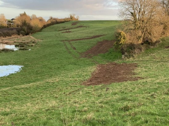
An assessment took place between 17 and 18 November 2020. A total of 16 test trenches were excavated across the footprint of the site using a 14-tonne tracked excavator fitted with a 1.8m-wide bucket. A total of 226m of linear trench was excavated. In addition to the targeted testing of the geophysical anomalies, extra test trenches (Trenches 14-16) were excavated in Field 3 where, due to the steep slope, geophysical survey could not be carried out. The trenches were excavated to assess the archaeological potential of Field 3. No features or deposits were identified.
No remains of the ringfort (CO008-040—-) were exposed within the excavated trenches in the northern part of the site. In Field 1, a ditch, C4, exposed in Trench 4 to the north-east of the ringfort, represents the remains of a field boundary shown on the Ordnance Survey 6-inch map of 1843. In Field 2, in Trench 8, a linear depression in the field was visible and represented modern farm tracks running along the former field boundary.
It appears that the remaining anomalies identified in the geophysical survey that were targeted in the course of this limited testing programme represent geological variations in the natural boulder clay and/or changes in the topsoil and are therefore of no archaeological significance.
While no archaeological material was exposed, the test excavations were limited and targeted the anomalies identified in the course of the geophysical survey only. The possible presence of smaller archaeological features can not be dismissed however; therefore it is recommended that the area is subject to more general test trenching throughout the full land take area, in advance of construction works commencing.
References
Dowling, G. 2020. Geophysical Survey Report of Lands at Newtown, Co. Cork (20R0017). Unpublished report prepared by AMS.
Nichols, J. 2020. Geophysical Survey Report XC211 (Newtown Townland) & XC215 (Shinanagh Townland), Cork Line Level Crossing Project, County Cork (20R0016 & 20R0017). Unpublished report prepared by AMS.