2020:180 - SHANNONPARK, Carrigaline, Cork
County: Cork
Site name: SHANNONPARK, Carrigaline
Sites and Monuments Record No.: N/A
Licence number: 20E0573
Author: Colm Chambers, John Cronin & Associates
Author/Organisation Address: 28 Upper Main Street, Buncrana, Co. Donegal
Site type: Excavation - miscellaneous
Period/Dating: Multi-period
ITM: E 573223m, N 563956m
Latitude, Longitude (decimal degrees): 51.827201, -8.388469
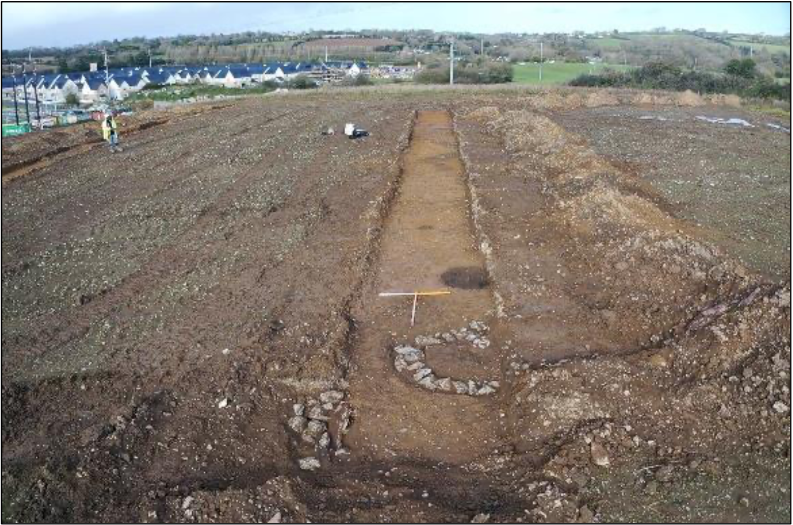
Test trenching was carried out to investigate a number of features of archaeological potential identified within a proposed development site during geophysical survey (20R0158). Testing revealed several phases of activity within the proposed development site and features identified appear to date to the prehistoric, early medieval, and post-medieval periods.
The earliest evidence for activity within the site was a probable prehistoric ditch identified within Trenches 12 and 14. This feature was cut but a number of cremation pits and the outer ditch of a circular bivallate enclosure (likely a levelled ringfort). A possible occupation spread identified within Trench 9 was cut by two cremation pits and therefore pre-dated these features. The cremation pits identified during testing likely date to the prehistoric period.
A probable bivallate ringfort with a diameter of approximately 60m was identified during geophysical survey and the ditches of this feature were noted within Trenches 14 and 16. The probable ringfort, a possible cereal-drying kiln (identified within Trench 19) and a possible souterrain (identified within Trench 14) are likely to date to the early medieval period. A large ditch identified within Trenches 8, 9, 12, 15 and 17, and noted as a cropmark and during geophysical survey, to the west, north and east of the probable ringfort, may be contemporary with the enclosure. Several other features, including pits and post-holes to the west and east of the probable ringfort, are also likely to date to the early medieval period.
A possible flint scraper was found within a dump of topsoil to the west of the area being tested, a post-medieval pottery sherd was recovered from a probable agricultural linear feature within Trench 15 and a small flake of struck flint was recovered from the surface of a likely cremation burial pit within Trench 9.
Excavations carried out directly to the south in 2002 (01E1148 ext.) identified a similar settlement pattern.
Resolution of these features will be undertaken ahead of development subject to planning permission being granted.

