2020:145 - KINSALE: Former St. Joseph's School site, Rampart Lane, Cork
County: Cork
Site name: KINSALE: Former St. Joseph's School site, Rampart Lane
Sites and Monuments Record No.: N/A
Licence number: 20E0136
Author: David Murphy
Author/Organisation Address: John Cronin & Associates, 3a Westpoint Trade Centre, Link Road, Ballincollig, Cork
Site type: No archaeology found
Period/Dating: N/A
ITM: E 563690m, N 550310m
Latitude, Longitude (decimal degrees): 51.704000, -8.525338
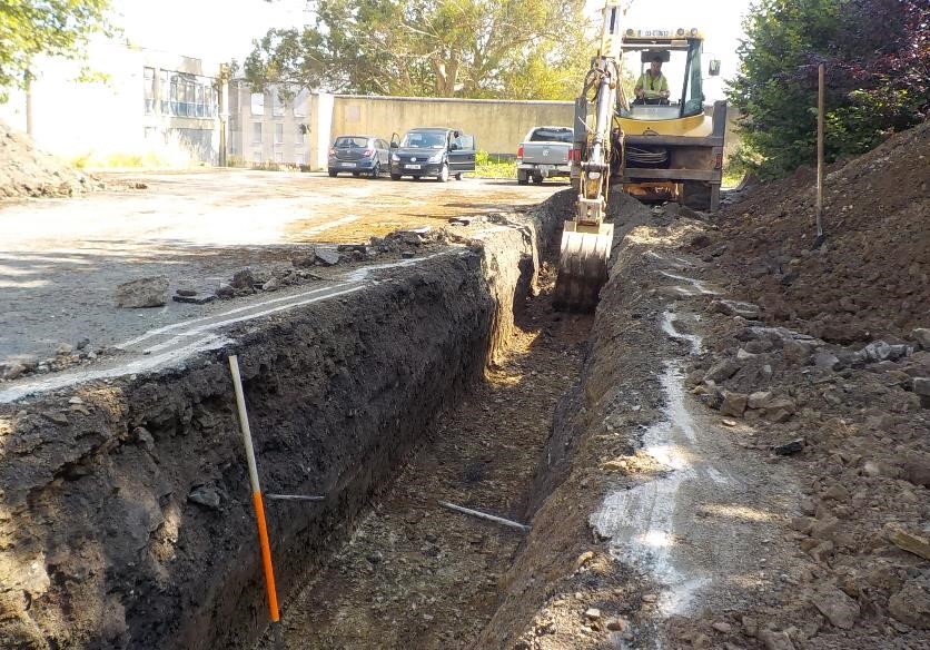
Archaeological testing of the site of a proposed residential development at the former St. Joseph’s National School site off Rampart Lane, Kinsale, County Cork was undertaken between 10 and 12 August 2020. Six linear test trenches (T.01 to T.06), measuring 1.5m in width and with a combined total length of 104m, were excavated across areas that have been proposed for development within the site. The testing programme revealed that the multi-levelled site was subject to significant ground disturbance during the construction of the former National School in the mid-20th century. The test trenches excavated in the upper (western) portion of the site revealed that significant depths of introduced soil and rubble (up to 1.3m) were introduced across this area in order to build up the ground level to allow access from Blind Gate Street. It appears that ground truncation associated with the setting out of level terraces for the gardens attached to St. Joseph’s Convent to the east lowered the original subsoil level in the western portions of the site to a significant degree which, as a result, negated the natural gradient of the area. This was readily evident in the stratigraphy within T.04 which was excavated in the westernmost portion of the site. This trench, which extended for 30m orientated east to west direction, contained up to 1m of modern material overlying a buried garden soil (a mid-yellowish-brown clayey silt) which itself overlay a disturbed natural subsoil (an orangish and yellowish brown silty clay and fragmented sandstone bedrock). Furthermore, the significantly higher ground level in the adjoining properties to the south of T.04, as well as Blind Gate Street itself, further demonstrated the degree of truncation which must have occurred to the original ground level across this area.
The lower terraced area to the east where T.05 and T.06 were excavated contained lesser amounts of modern overburden and greater amounts of garden soil but nevertheless retained evidence of terracing activity. The trenches excavated in both the upper and lower areas revealed evidence of garden activity in the form of cultivation linear features, ephemeral furrows, probable drainage channels and the lower remnants of a boundary/division which is depicted on the historic OS maps. Cultural inclusions dating from the 19th into the early 20th century were recovered from both the lower garden soil layer and the fills of some the revealed linear features which were of a similar composition to the overlying garden soil.
No artefacts, features or deposits considered to be of archaeological significance were revealed during the testing programme. The ground truncation undertaken during the terracing of large portions of the site in the mid-19th century would have destroyed any potential archaeological features which may have existed across the affected areas. Although soil sieving and metal detecting were undertaken, no cultural inclusions predating the 19th century were retrieved, however, the potential for the presence of artefacts within the less disturbed garden soil layers, particularly towards the eastern side of the existing terraced areas, cannot be discounted.