2019:514 - RIVER SLANEY ESTUARY/WEXFORD HARBOUR, Wexford
County: Wexford
Site name: RIVER SLANEY ESTUARY/WEXFORD HARBOUR
Sites and Monuments Record No.: WX038-007:001-003
Licence number: 19D0034, 19R0085
Author: Rex Bangerter, ADCO
Author/Organisation Address: No. 2, Main Street, Bennettsbridge, Co. Kilkenny
Site type: Weir - fish, Wreck, Martello tower, Watchtower, Signal tower and Bastioned fort
Period/Dating: Multi-period
ITM: E 710515m, N 621210m
Latitude, Longitude (decimal degrees): 52.331363, -6.378481
ADCO carried out a desktop-study and drone survey of a series of aquaculture sites at nineteen (19) locations within the River Slaney Estuary/Wexford Harbour. The purpose of the survey was to identify any anomalies of archaeological potential present within the intertidal footprint of the proposed sites and to undertake any subsequent field inspection that may be required.
Desktop assessment highlighted the dynamic nature of Wexford Harbour and the presence of nineteenth-century improvements to the harbour’s infrastructure, attempts to maintain safe navigation, and a series of structures associated with reclamation of the north and south sloblands. The desktop survey was complemented by comprehensive drone survey, carried out on a Spring Low Water Tide Cycle between 1 and 10 May 2019. The survey captured aerial imagery across seventeen (17) of the nineteen (19) aquaculture sites; covering a total area of c. 9.6km² (960ha) to provide 87% coverage of the combined area of the aquaculture sites. Eight of the sites (T03/071A, T03/072B, T03/074B, T03/077A, T03079A, T03/085A, T03/090A and T0391A) retained sub-tidal zones and were not suitable for this method of data acquisition.
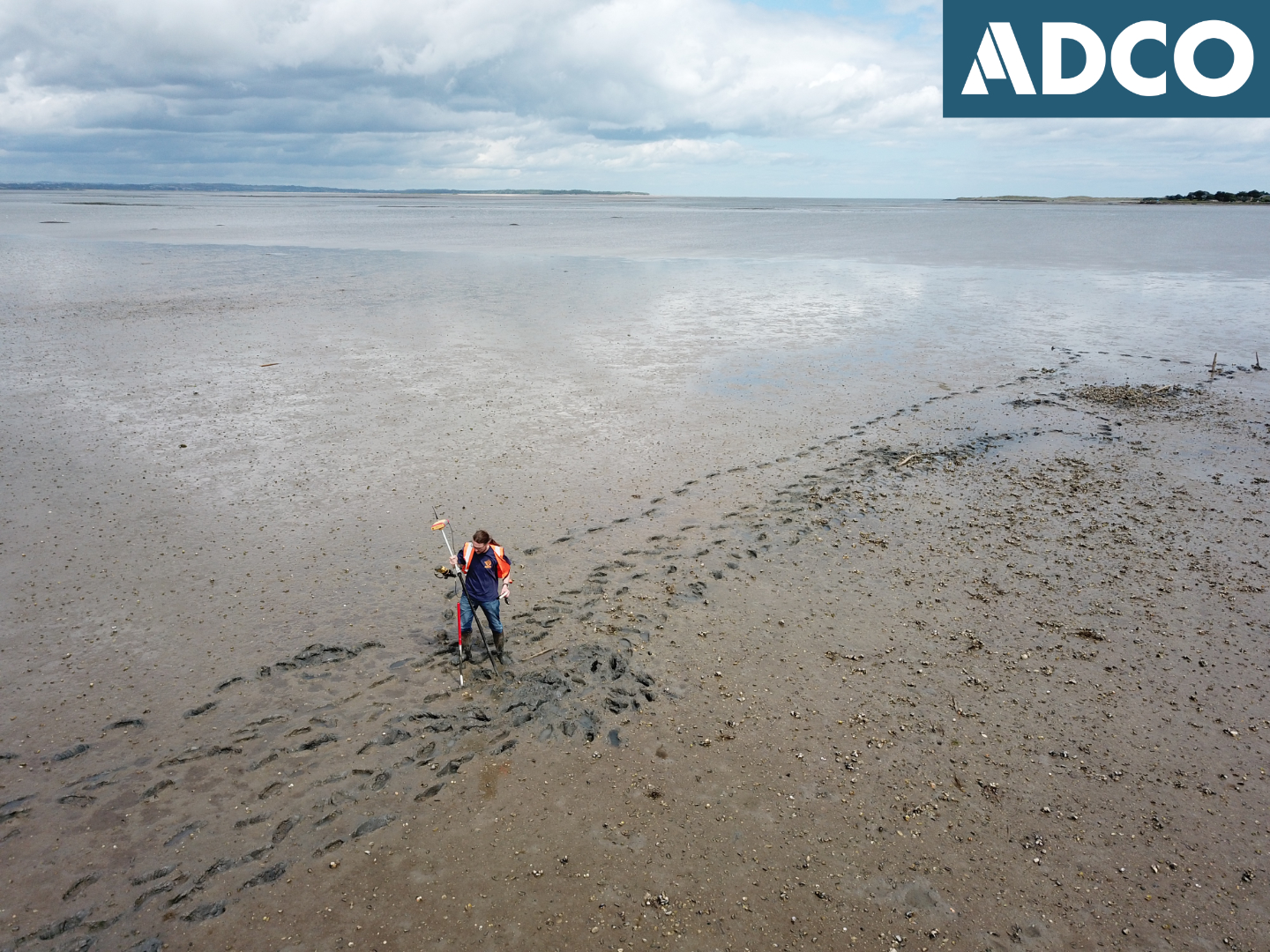
The drone imagery was processed to create geo-referenced photomosaics at a resolution of 3cm/per pixel; allowing objects as small as c. 200mm in diameter to be successfully viewed/identified. This data was subject to detailed desktop review to identify any anomalies present. A total of seventy-five (75) anomalies were identified (referenced DA001-DA075), with fourteen (14) deemed to retain archaeological potential. Subsequent intertidal field inspection and assessment was carried out on 20 June 2019.
The intertidal inspection identified two archaeologically significant features, both being intertidal fishtraps, known locally as Ebb Weirs. The first fishtrap/weir (Feature F01) corresponds with drone anomalies DA054/DA055. The second fishtrap/weir (Feature F02) is a site that was not visible within the drone survey imagery. F02 is located a short distance east-north-east of anomaly DA057. A detailed survey of the fishtrap sites was subsequently carried out on 17 and 18 July 2019. Fishtraps F01 and F02 are located within Aquaculture Site T03/093B, positioned on the south side of Wexford Harbour, adjacent to the townlands of Rosslare Intake (to the west) and Burrrow (to the east) respectively. An exclusion zone around these fishtrap features has been implemented.
Four additional features of interest were observed as part of the archaeological assessment, Features F03-F06.
Features F03 and F04 represent boat wrecks located upon the upper foreshore, at a point 150m to the south of Aquaculture Site T03/093B (Burrow Td.) These wrecks, lying in close proximity to each other, comprise the remains of two double-ended Rosslare Cots. The boat wrecks are both of similar design and retain elements of a boat-building tradition specific to Wexford Harbour and Rosslare.
Features F05 and F06 form the remains of historic breakwater/embankment structures constructed in the nineteenth century, as depicted on the OS Historic Mapping of Wexford Harbour. These features represent the residue of historic attempts to mitigate for the dynamic nature of the harbour and maintain an open navigation channel. Aquaculture Sites T03/099A and T03/093A abut Feature F05, while Aquaculture Sites T03/080B and T03/092A abut Feature F06.
Three sites listed in the Record of Monuments and places (RMP) are located in proximity to Aquaculture Site T03/074A (22m-38m to south-south-west), WX038-007:001 (Martello Tower), WX038-007:002 (Watchtower), and WX038-007:003 (Bastioned Fort). These sites represent nineteenth-century structures built to protect the mouth of the harbour, at a time when Rosslare Point extended some 2.9km further to the north of its current extent. An RNLI lifeboat station also occupied this spit of land until 1925, after which the land forming the point become unstable due to severe and prolonged south-easterly storms. The lifeboat station and neighbouring RMP sites now lie submerged, immediately adjacent to (east) of a sandbank that is positioned across the northern half of harbour mouth.