2019:468 - KILNAGRANGE, Waterford
County: Waterford
Site name: KILNAGRANGE
Sites and Monuments Record No.: WA015-085
Licence number: 19E0230
Author: Órla Scully
Author/Organisation Address: 7 Bayview, Tramore, X91 X462
Site type: Burnt mound
Period/Dating: Prehistoric (12700 BC-AD 400)
ITM: E 639085m, N 607114m
Latitude, Longitude (decimal degrees): 52.214402, -7.428054
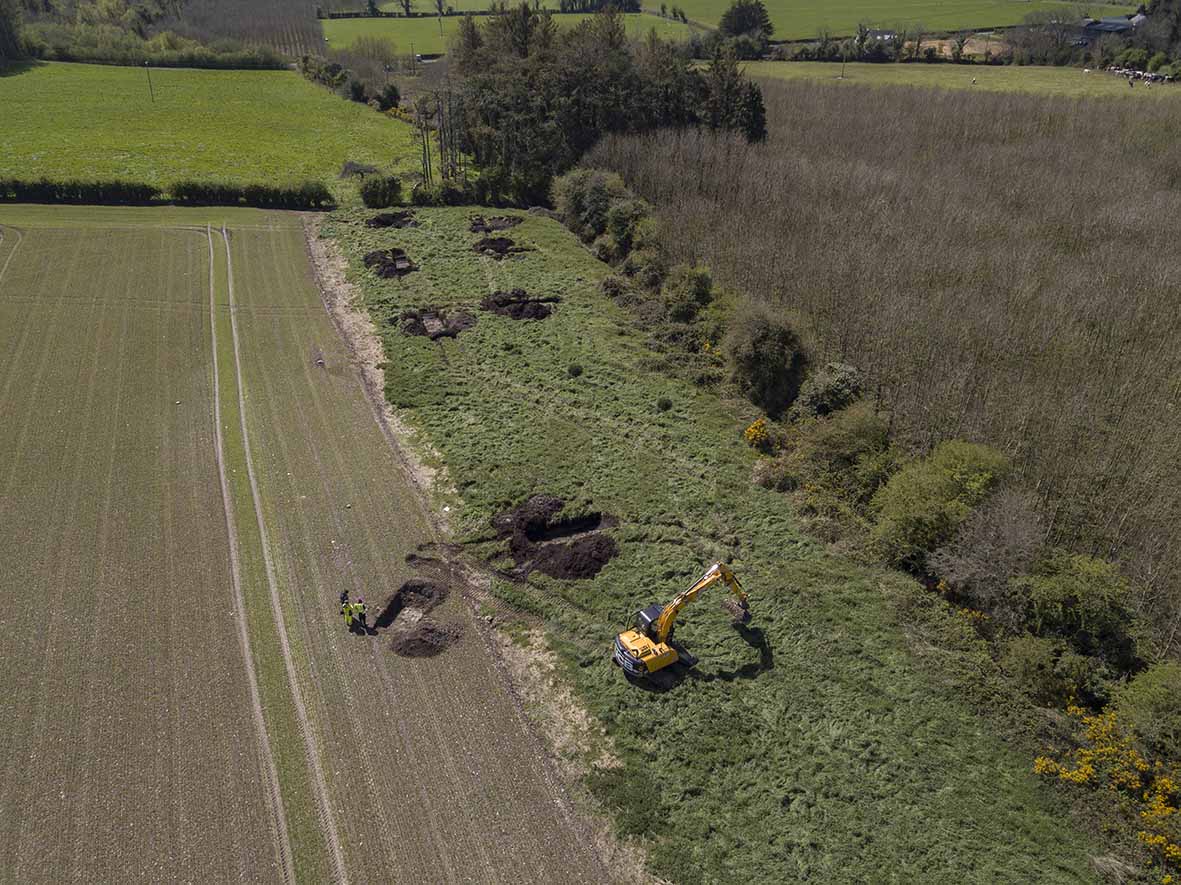
No archaeology was found during testing south and south-west of the location of two burnt mounds ‘reportedly visible during ploughing’ (NMS). A highly organic deposit of oat husks overlying topsoil was recently introduced.

