2019:857 - KILVOY (1), Roscommon
County: Roscommon
Site name: KILVOY (1)
Sites and Monuments Record No.: N/A
Licence number: Registration No. E5074, Ministerial Direction No. A077
Author: John Channing, c/o Archaeological Management Solutions Ltd.
Author/Organisation Address: Fahy’s Road, Kilrush, Co. Clare
Site type: Hearth, Pits and Field boundary
Period/Dating: Late Medieval (AD 1100-AD 1599)
ITM: E 580237m, N 787562m
Latitude, Longitude (decimal degrees): 53.837173, -8.300261
Kilvoy 1 revealed two isolated hearths, two isolated pits, three irregular curvilinear features, two boundary ditches, a box drain, and five possible Roscommon pits excavated in advance of construction of the N5 Ballaghaderreen to Scramoge Road Project in County Roscommon by Archaeological Management Solutions (AMS) for Roscommon County Council (RCC) and Transport Infrastructure Ireland (TII).
Previous investigations undertaken at this location include geophysical survey by Earthsound under licence no. 15R0123 (Bonsall & Gimson 2015), hand auger excavations at the pitfield sites under licence no. 15E0438 and test excavations by Archer Heritage Planning under licence 15E0588 (O’Connell 2016).
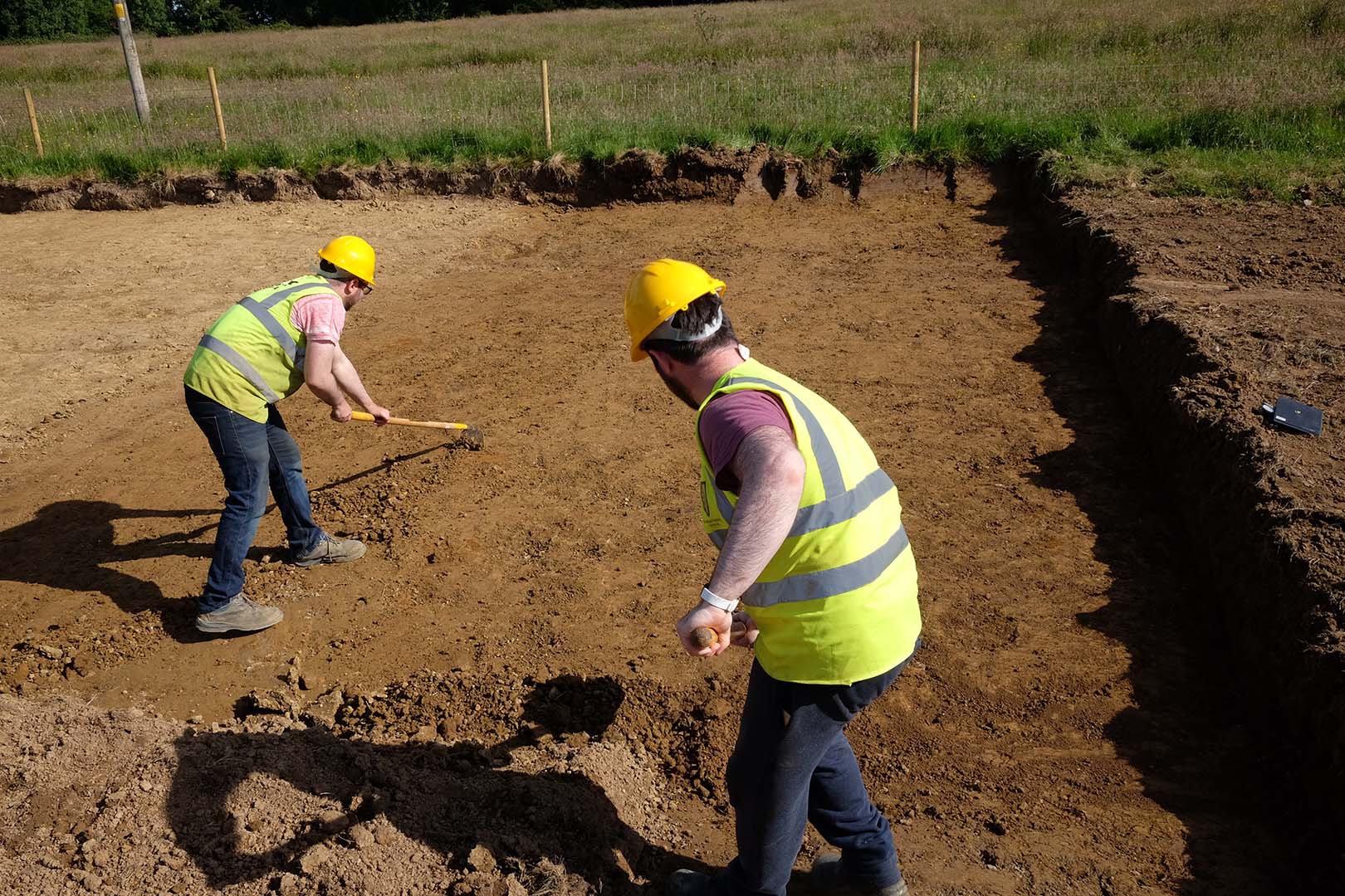
The on-site Stage (iii) Excavation Services at Kilvoy 1 were undertaken by AMS between 1 and 23 July 2019. The site was excavated in three Areas (1–3).
Area 1 comprised two parallel linear ditch features, two curvilinear features, two pits, and a pitfield pit. Two parallel linear ditch features ran on a north–south orientation, measured 1.25m wide and 0.35–0.4m deep and contained a single fill consisting of mid-brown silty clay with occasional small, rounded pebbles. The two pits were sub-oval in plan, measured 0.65–1.02m long, 0.53–0.72m wide, 0.15–0.2m deep, and contained a single fill of grey-brown silty clay with occasional charcoal flecks. Hazel charcoal from one of the pits was dated to cal. AD 1276–1388 (UBA-48103; 686±26BP). Charred grains of wheat, barley and oats, in addition to 130 calcined animal bones—nine of which were from medium-sized mammals such as sheep/goat or pig—were recovered from these pits. The two curvilinear features ranged in size from 4.85–10.67m long, 0.49–0.53m wide, 0.01–0.2m deep and contained a single fill of grey-brown to mottled orange-brown clayey silt. Willow charcoal from the fill of one of these features was dated to cal. AD 1320–1422 (UBA-48104; 565±23BP). The pitfield pit was a natural hollow 5m long and 6m wide that comprised fine grey silt fills. It was partially sectioned to a depth of 0.5m, proving to be sterile. Further excavation did not occur as they were interpreted as natural geological features.
Area 2 comprised three pitfield pits and a box drain. The three pitfield pits were 3.5m in diameter, 4.5m long, 2.75m wide, and 4.75m long, 3m wide, and contained fine grey silt fills. All were partially sectioned and proved to be sterile. Further excavation did not occur as they were interpreted as natural geological features. The box drain was rectangular, consisting of flat-sided stones placed on their edge and capped by flat stones and measured 0.15m in internal height and 0.25m internal width.
Area 3 comprised a curvilinear feature, two hearths and a pitfield pit. The curvilinear feature was 10.06m long, 0.35m wide, 0.1m deep and contained a single fill of mid-brown clayey silt with no inclusions. The hearths measured 0.8–1.3m long, 0.58–0.9m wide, 0.1–0.14m deep and contained a single fill of dark brown to dark grey silty clay with charcoal inclusions and redeposited subsoil. Pomaceous fruitwood charcoal from the fill of one of the hearths was dated to 3775–3647 cal. BC during Stage (i) testing (O’Connell 2016).
A circular area of grey silt measuring 3.3m long, 2.2m wide and 4m+ deep was interpreted as a pitfield pit and was sectioned by machine due to safety concerns (possible trench collapse). The section uncovered a pocket of charcoal within an otherwise sterile fill, with a sample of hazel charcoal returning a late medieval/post-medieval date of cal. AD 1522–1950* (UBA-43816; 253±29). A charred grain of oats, and ruderal taxa, such as daisy, dock and brambles, were recovered from this fill.
No finds of artefacts were recovered from the site. Charcoal from the fill of a pit, curvilinear feature and a pitfield pit comprised hazel, ash, pomaceous fruitwood and willow.
References
Bonsall, J. & Gimson, H. 2016. Geophysical survey report, N5 Ballaghaderreen–Scramoge road development. Unpublished report prepared by Earthsound Archaeological Geophysics on behalf of RCC and TII.
O’Connell, A. 2016. N5 Ballaghaderreen-Scramoge Road Development, Archaeological Consultancy Services Contract, Stage (i) Services Area AH01-AH03; Kilvoy, Corry West 7 Cloonyeffer, Co. Roscommon, Licence No. 15E0588. Unpublished report by Archer Heritage Planning Ltd for RCC and TII.