2019:145 - KERDIFFSTOWN: Kerdiffstown Landfill, Kildare
County: Kildare
Site name: KERDIFFSTOWN: Kerdiffstown Landfill
Sites and Monuments Record No.: KD019-018; KD019-006001–4
Licence number: 18E0665
Author: Ger Dowling and Ros Ó Maoldúin, AMS Consultancy
Author/Organisation Address: Unit 1, Hector Street Mills, Kilrush, Co. Clare
Site type: Excavation - miscellaneous
Period/Dating: Multi-period
ITM: E 691360m, N 722041m
Latitude, Longitude (decimal degrees): 53.240878, -6.631294
Testing was undertaken on a phased basis between November 2018 and August 2019 on lands adjacent to the former landfill at Kerdiffstown, near Naas, County Kildare. The investigations were conducted in advance of remedial works by Kildare County Council that aim to develop the site into a multi-use public amenity park.
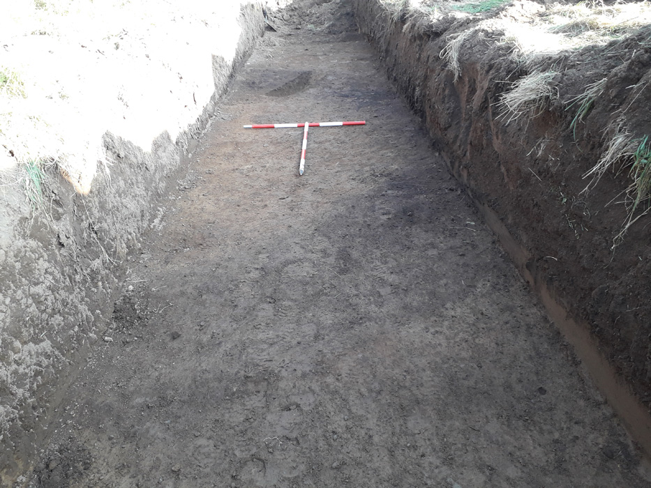
A total of 38 test trenches were excavated in five separate areas (Field Locations 1, 2, 4, 5 and 6) of the site. The remaining area, Field Location 3, is the proposed location of the surface water outfall point into the Morell River and was investigated during a separate Wade Survey (Hardy & Rudzinski 2019).
A variety of archaeological features of varying date and significance were identified in two of the four areas investigated (Field Locations 1 and 2). The array of evidence represented is extensive, ranging from a prehistoric burial site or ring-ditch to medieval occupation layers and other remains, as well as features associated with agricultural activity and possible metalworking/charcoal production.
The ring-ditch (c.6m in diameter), several pits and linear ditches, as well as the possible metalworking feature or charcoal-production pit, were identified in Field Location 1. The ring-ditch, which lies in the Zone of Archaeological Potential of a mound (KD019-018) reportedly levelled in the 1950s, survives as a low-profile feature, suggesting that it has been disturbed by later activity. Whether the ring-ditch originally encircled the mound to form a ring-barrow cannot be established on the basis of present evidence.
The date and significance of the other features identified in this area are uncertain, though they appear to include a series of relict field boundaries possibly associated with medieval (or later) farming. The putative metalworking feature/charcoal-production pit is also likely to be of some antiquity. Archaeological features (ditches and pits) and deposits (soil layers containing pottery sherds) of probable medieval date were also identified in the vicinity of Kerdiffstown church (KD019-006001) and graveyard (KD019-006002–4) in Field Location 2.
Reference
Hardy, C. & Rudzinski, P. 2019. Archaeological Wade and Metal Detection Survey on the Morell River, Kerdiffstown, Co. Kildare. Unpublished report prepared by AMS Ltd for Kildare County Council/RPS.