2019:756 - MILLTOWN (2), Grange Castle West, Dublin
County: Dublin
Site name: MILLTOWN (2), Grange Castle West
Sites and Monuments Record No.: N/A
Licence number: 19E0682
Author: David Bayley & Tim Coughlan
Author/Organisation Address: c/o IAC Ltd, Unit G1 Network Enterprise Park, Kilcoole, Co. Wicklow
Site type: Field boundary and Cultivation ridges
Period/Dating: Multi-period
ITM: E 702477m, N 731092m
Latitude, Longitude (decimal degrees): 53.320162, -6.461890
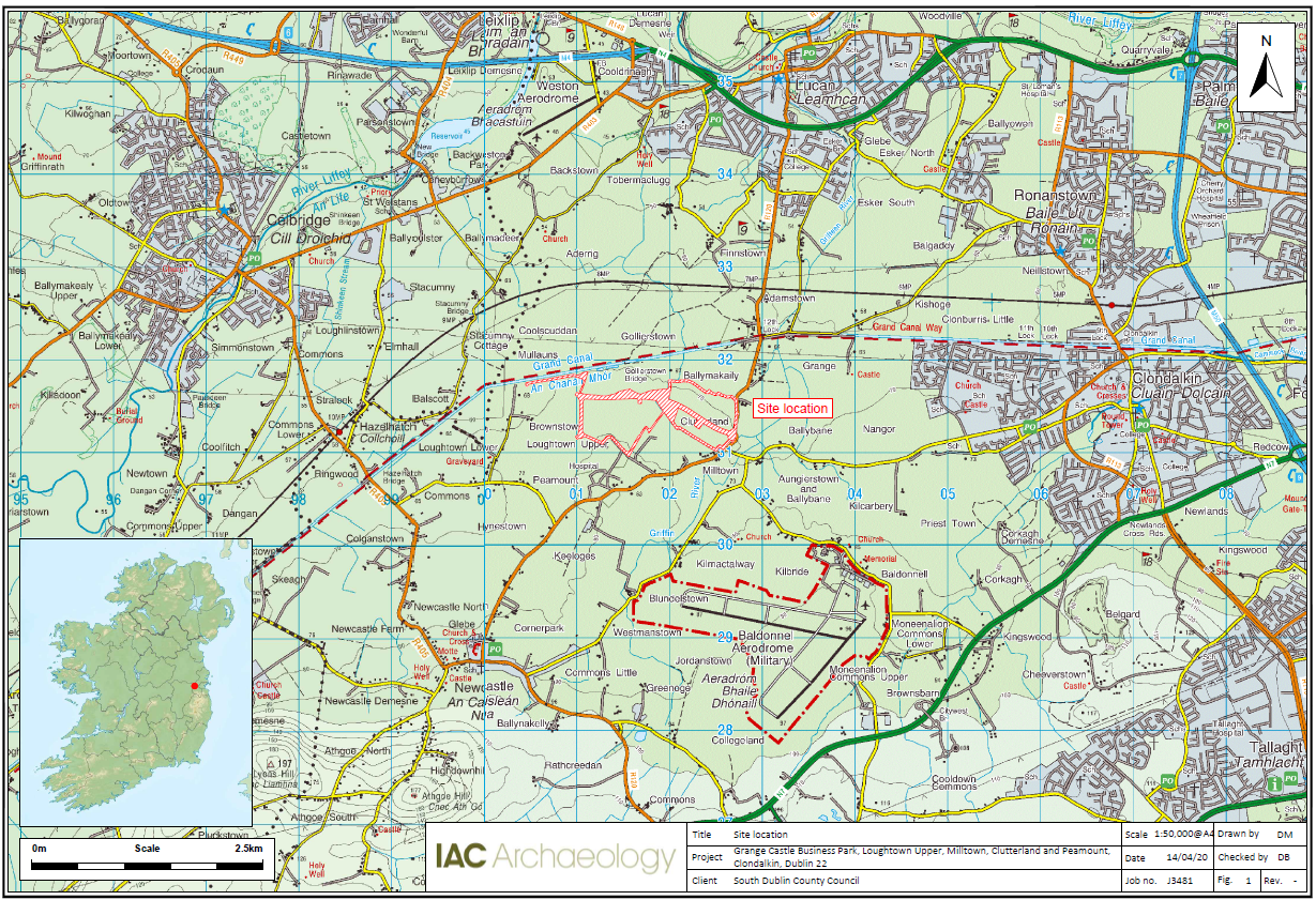
The following describes the preliminary results of an archaeological excavation at Milltown 2, Grange Castle West, Clondalkin Dublin 22, located at the site of the proposed Grange Castle West Access Road development.
The site at Milltown 2 was located to the north-east and north-west of an extant farmyard with upstanding stone-built barns and wall. The site area to the north-west of the farmyard had a gentle slope from north-east to south-west, while the site area to the north-east of the farmyard sloped more steeply from north-west to south-east.
In the north-eastern part of the site, two probable field boundaries and four agricultural furrows were recorded. The preliminary interpretation of these features is that they were part of a broader medieval field system. Sherds of medieval pottery recovered from one of the field boundaries and one of the furrows have helped in the formation of this interpretation.
Another medieval field boundary extended across the entire length of the north-western part of the site. Two pits and the shallow remnants of a fire were recorded in the south-west of this area, along with an agricultural furrow and a field boundary that post-date this activity. A modern field boundary was also recorded in the north-western part of the site.
The current interpretation of the phasing and dating of the activity on site is based on artefacts recovered, stratigraphic relationships between features and typological similarities. It is hoped that ongoing post-excavation analysis will further inform the preliminary interpretation of the activity on site.

