2019:615 - BALDONNELL LOWER: Kingswood Business Park, Dublin
County: Dublin
Site name: BALDONNELL LOWER: Kingswood Business Park
Sites and Monuments Record No.: N/A
Licence number: 19E0725
Author: Siobhan Deery, Courtney Deery Heritage Consultancy
Author/Organisation Address: Lynwood House, Ballinteer Road, Dublin 16
Site type: No archaeology found
Period/Dating: N/A
ITM: E 704770m, N 729598m
Latitude, Longitude (decimal degrees): 53.306292, -6.427980
Test excavation and archaeological monitoring of ground reduction at the development of a new warehouse at Kingswood Business Park, Baldonnell, Co. Dublin, took place between 19 November and 9 January 2020.
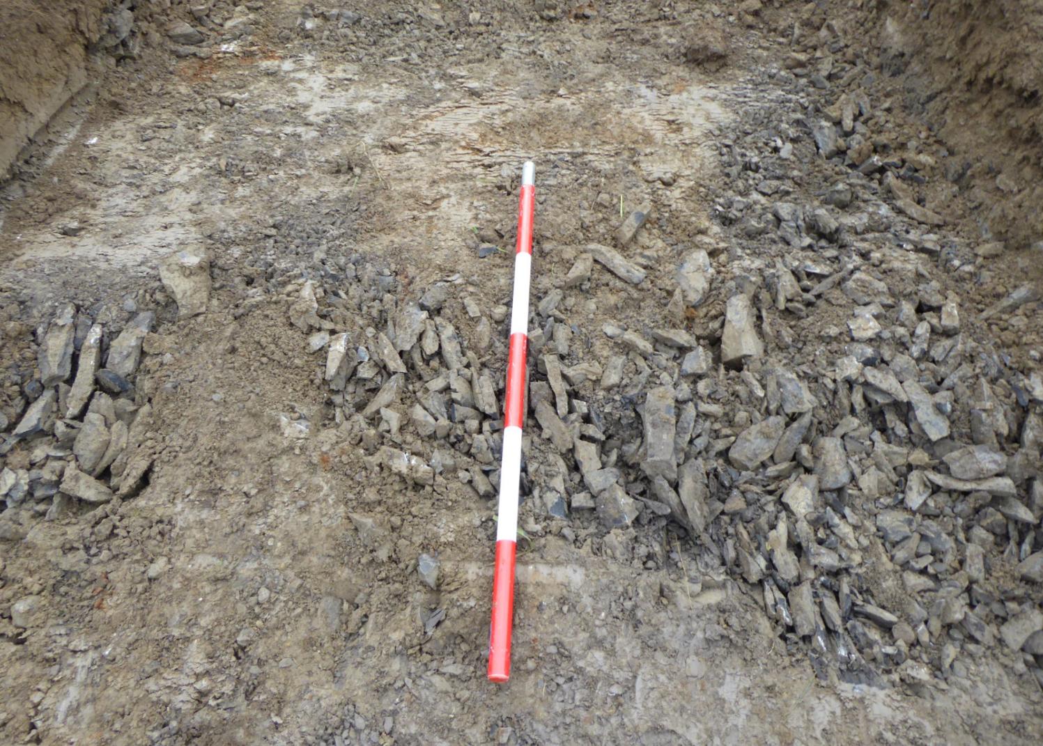
A review of aerial photographic images revealed a crescent shaped/semi-circular feature Google Earth 2016). The nature, location and extent of this crop mark was targeted for test trenching during the monitoring works for the site. Test excavation revealed that the aerial anomaly comprised of naturally occurring seams of calp limestone in the highest point of the field. The differential drainage in the soils due to the rock and the natural subsoil appear to have caused the crop mark in the aerial imagery.
No features finds or deposits of an archaeological interest were identified as a result of the monitoring programme; all monitoring associated with the development has been completed.