2019:614 - KILGOBBIN: Cruagh Wood to Ballyogan Road Cycleway, Dublin
County: Dublin
Site name: KILGOBBIN: Cruagh Wood to Ballyogan Road Cycleway
Sites and Monuments Record No.: DU026-115
Licence number: 19E0668
Author: Siobhan Deery, Courtney Deery Heritage Consultancy
Author/Organisation Address: Lynwood House, Ballinteer Road, Dublin 16
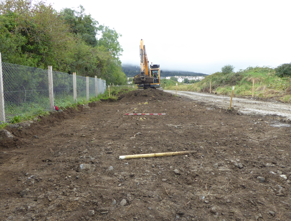
Site type: No archaeology found
Period/Dating: N/A
ITM: E 720191m, N 724149m
Latitude, Longitude (decimal degrees): 53.254074, -6.198774
Archaeological monitoring of earthmoving works was undertaken in advance of the construction of the Cruagh Wood to Ballyogan Road Greenway over a three-day period in late October and early November 2019.
The route of the greenway runs along an access track (now unused) that originally led to an ESB substation. The track was previously topsoil stripped and has a stone surface but has been out of use for some time. Site investigation works have confirmed that an underground electricity cable also runs along the eastern side of the track. Archaeological investigations over several years in the Clay Farm development lands have identified two areas of archaeological potential along the greenway, which runs immediately east of a possible early medieval enclosure (indicated by a curving ditch) that is being preserved in situ in the Clay Farm development lands and also runs north-west of a stretch of the recorded Pale boundary (DU026-115), across its possible continuation. No features of an archaeological nature associated with the enclosure site or indicative of a continuation of the Pale Boundary were identified during the monitoring of the earth-moving works to the greenway formation level.