2019:612 - BRENNANSTOWN WOOD, Dublin
County: Dublin
Site name: BRENNANSTOWN WOOD
Sites and Monuments Record No.: N/A
Licence number: 19E0004
Author: Siobhan Deery, Courtney Deery Heritage Consultancy
Author/Organisation Address: Lynwood House, Ballinteer Road, Dublin 16
Site type: Farm
Period/Dating: Post Medieval (AD 1600-AD 1750)
ITM: E 722500m, N 724550m
Latitude, Longitude (decimal degrees): 53.257148, -6.164035
Archaeological monitoring of site clearance and topsoil stripping took place within the development area of Brennanstown Wood between April and 11 October 2019. Works also included the creation of a photographic record and survey of a ruined 19th-century farmstead and associated shed. The topsoil was a mid-brownish grey silty sand with an average depth of 0.15m over a mid-greyish silty clay subsoil with granite out-cropping.
During monitoring three existing features relating to the 19th-century farmstead were recorded in detail prior to removal; these included a land drain, a metalled carriageway and a metalled forecourt.
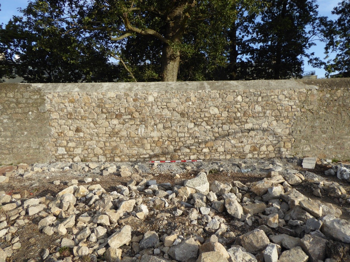
The wall between Carrickmines Wood and the permitted development runs along the townland boundary between Cabinteely and Brennanstown, it also acts as the boundary to the former demesne lands of Carrickmines House (built in 1769 for Robert Craggs-Nugent MP). A 10m section of the wall that had been damaged by a storm was dismantled by hand and rebuilt. Foundation trenches were dug until bedrock was encountered and filled with mass concrete on top of which an in-situ concrete beam was placed (0.45m x 0.35m deep). This process was monitored and recorded. Above this, a concrete block wall was built up (replacing an unstable rubble stone core) and this was dressed on both faces with the stone from the original wall to its original height.
No features of an archaeological nature dating prior to 1700 were uncovered during ground reduction work anywhere within the development area.