2019:505 - RIVER LIFFEY, Blood Stoney Pedestrian Bridge Project, Dublin, Dublin
County: Dublin
Site name: RIVER LIFFEY, Blood Stoney Pedestrian Bridge Project, Dublin
Sites and Monuments Record No.: DU18-020564, DU18-02021
Licence number: 19D0063, 19R0156
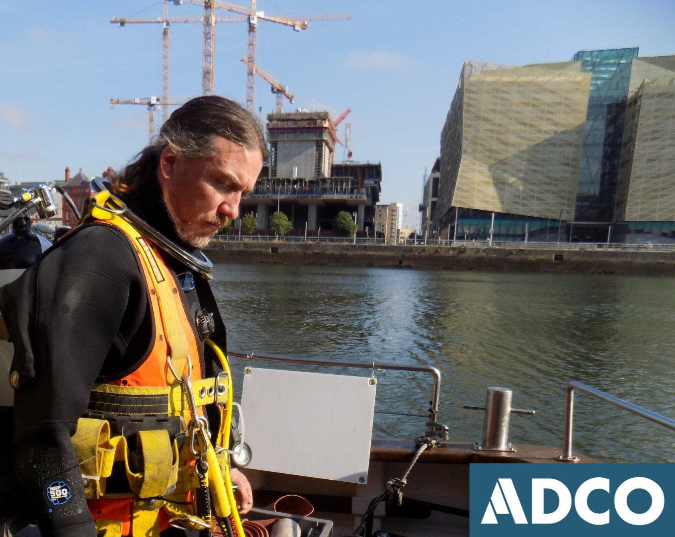
Author: Rex Bangerter, ADCO
Author/Organisation Address: No. 2, Main Street, Bennettsbridge, Co. Kilkenny
Site type: Quay, Riverine revetment and Bridge
Period/Dating: Multi-period
ITM: E 717469m, N 734370m
Latitude, Longitude (decimal degrees): 53.346503, -6.235753
Underwater Archaeological Impact Assessment (UAIA) took place at the proposed location of a new pedestrian bridge to be positioned between the North Wall Quay (Du18-020564) and Sir John Rogerson’s Quay (Du18-02021). The assessment was required as part of the planning process for the Blood Stoney Bridge project. The current project replaces development plans previously explored as part the North Lotts and Grand Canal Dock Strategic Development Planning Scheme; namely the Forbes Street Pedestrian Bridge.
Blood Stoney Bridge is to measure 125m in length and comprise of a three-span steel bridge-deck extending between North Quay Wall (to the north) and Sir John Rogerson’s Quay (to the south). The bridge is to be aligned with New Wapping Street and Blood Stoney Street. The bridge layout is symmetric (40m-40m-40m north to south) and includes a 40m wide, opening, central-span of twin lifting bascule arrangement. The bridge will be supported by two (2) in-river piers structures. These are likely to require piled foundations and a temporary cofferdam during construction. The terminal ends of the bridge structure are to be supported by integral piers, placed in front (riverside) of the existing quay walls to minimise impacts to those structures.
A comprehensive assessment of the River Liffey at the proposed bridge location was undertaken, encompassing a 124m north-south x 40m area. The survey extended a significant distance beyond the four (4) riverbed impact areas associated with the bridge project. The assessment recorded riverbed topography and provided a detailed account of the existing riverine environment. On-site work comprised the systematic non-disturbance inspection of the river channel, its attendant quays, and any associated quayside features encountered. In addition, targeted metal-detection was employed to help assess the riverbed and highlight any metallic concentrations present within those deposits. Aside from the quaysides, which were subject to detailed recording, no archaeological significant material, deposits, or structures were encountered as part the survey. The on-site work was carried out on 2 August 2019.