2019:321 - FINNSTOWN, Dublin
County: Dublin
Site name: FINNSTOWN
Sites and Monuments Record No.: N/A
Licence number: 19E0074
Author: Gill McLoughlin, Courtney Deery Heritage Consultancy
Author/Organisation Address: Lynwood House, Ballinteer Road, Dublin 16
Site type: No archaeology found
Period/Dating: N/A
ITM: E 702070m, N 733330m
Latitude, Longitude (decimal degrees): 53.340347, -6.467275
Monitoring was carried out, from 11–25 February and on the 3 December 2019, relating to a planned residential development and in response to conditions of planning imposed by South Dublin County Council (Planning Ref. SDZ18A/0011).
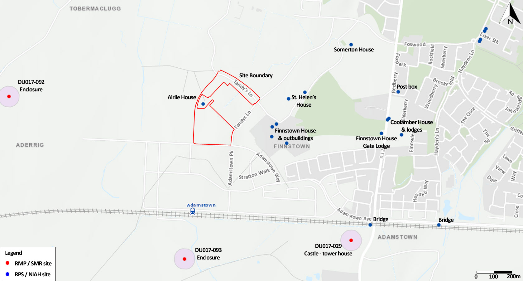
The site was bounded by Adamstown Way to the south, Adamstown Park to the east, Tandy’s Lane to the north and by former farmland to the west. The development is laid out in two segments, north and south, separated by Airlie House and existing new housing at St. Helen’s Phase 1.
There was much previous disturbance evident, caused by several factors including the construction and demolition of former buildings on part of the site as well as construction related activities such as compounds and movement and storage of spoil associated with more recent housing developments in the immediate vicinity. Monitoring focused on topsoil removal in undisturbed areas, particularly in the south-east of the site and elsewhere the digging of foundations was monitored.
No features, finds or deposits of archaeological interest were identified during the archaeological monitoring.

