2018:869 - MULLAGHMORE, Tyrone
County: Tyrone
Site name: MULLAGHMORE
Sites and Monuments Record No.: TYR017:083
Licence number: AE/18/171
Author: Alan Mc Combs, John Cronin & Associates
Author/Organisation Address: 28 Upper Main Street Buncrana Co. Donegal
Site type: Cist, Pit and Structure
Period/Dating: Prehistoric (12700 BC-AD 400)
ITM: E 647963m, N 849445m
Latitude, Longitude (decimal degrees): 54.391357, -7.261504
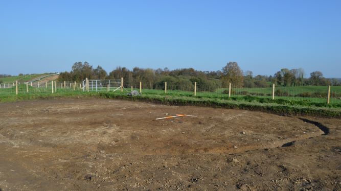
On the Gas to the West project archaeological material was identified in the townland of Mullaghmore, County Tyrone. The western terminus of Pinnacular ditch [c.21] is beyond the excavation limit; the diameter is 12m, width 0.36m and depth 0.23m. Within [c.21] was a possible cist burial [c.04], pit [c.25], [c.32], [c.34] and stake-holes (c.06), (c.27), (c.28) and (c.31).
Cist burial [c.04] was sub-oval in plan, orientated north to south, length 0.82m, width 0.76m and depth 0.58m. South-east of [c.04] is pit [c.25], circular in plan, length 0.3m width 0.3m and depth 0.09m.
East of [c.04] is pit [c.32], it was circular in plan, length 0.62m, width 0.62m and depth 0.12m.
North of [c.04] is pit [c.34]; it was sub-oval in plan, length 0.62m, width 0.45m and depth 0.15m.
South-east of [c.04] is stake-hole (c.06), circular in plan, 0.09m diameter and depth 0.11m.
North-north-east of [c.04] is stake-hole (c.27); it was sub-circular in plan, length 0.1m, width 0.09m and depth 0.13m.
North-east of [C.04] is stake-hole (c.28), 0.1m in diameter, depth 0.08m.
East of [c.04] is stake-hole (c.31); it was circular in plan, 0.09m diameter and depth 0.11m.
Outside the pinnacular ditch are pits [c.07], [c.12], [c.15], [c.38] and [c.41].
South-west of [c.21] pit [c.38] is circular in plan, length 0.5m, width 0.5m and depth 0.15m.
West of [c.38] is pit [c.41], sub-circular in plan, length 0.35m, width 0.22m and depth 0.2m.
West of [c.21] is pit [c.15], irregular in plan, length 5.7m, width 1.9m and depth 0.36m.
South-west of [c.21] is pit [c.07], sub-oval in plan, length 1.04m, width 0.8m and depth 0.16m.
South-south-west of [c.21] is pit [c.12], it is sub-oval in plan, length 0.78m, width 0.65m and depth 0.18m.
500m south-west of the pinnacular ditch was linear feature [04], kiln [06], post-hole [21], pits [08] and [12] and stake-holes (c.15), (c.17), (c.19).
Linear feature [c.04], orientated north-east to south-west, length minimum 30m (limit of excavation) width 0.75m and depth 0.22m.
Kiln [c.06], keyhole in plan, length 4.82m, width 1.46m and depth 0.26m.
Pit [c.08] is oval in plan, length 0.7m, width 0.55m and depth 0.08m.
Pit [c.12] oval in plan, length 0.35m, width 0.3m and depth 0.15m.
Stake-hole (c.15) is oval in plan, length 0.1m, width 0.9m and depth 0.19m.
Stake-hole (c.17) was oval in plan, length 0.09m, width 0.09m and depth 0.1m.
Stake-hole (c.19) is oval in plan, length 0.08m, width 0.08m and depth 0.08m.
Post-hole [c.21] was oval in plan, length 0.28m, width 0.2m and depth 0.12m; it had one fill.
Approximately 500m south of kiln [06] are pits [06] and [07]. Pit [c.06] is sub-circular in plan, length 0.66m, width 0.56m and depth 0.25m; a decorated quern stone with a possible cross motif was discovered within it.
Pit [07] was sub-oval in plan, length 0.6m, width 0.3m and depth 0.15m.
A full paper and digital record of the excavation along with the archaeological artefacts and samples have been retained for post-excavation analysis and reporting.