2018:483 - KILLYBRACKEN, Tyrone
County: Tyrone
Site name: KILLYBRACKEN
Sites and Monuments Record No.: N/A
Licence number: AE/18/182
Author: András Hindli, John Cronin & Associates
Author/Organisation Address: Burnside, St Oran Rd, Buncrana, Co. Donegal
Site type: Fulacht fia
Period/Dating: Prehistoric (12700 BC-AD 400)
ITM: E 678219m, N 859588m
Latitude, Longitude (decimal degrees): 54.478727, -6.793063
Archaeological works were carried out in advance of the development of the Gas to the West pipeline project at Plot 40.02, Killybracken, County Tyrone.
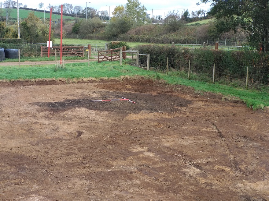
The identified site consisted of a fulacht fiadh (burnt spread and wood-lined trough). This feature was irregular in plan (8.7m x 5.8m x 0.03–0.26m), heavily ploughed and truncated by several modern drains. A wood-lined trough was identified underneath the north-eastern portion of the burnt spread. The trough was sub-oval in plan, measuring 1.7m x 1.1m x 0.3m. This feature was directly truncated by a modern drain running through the upper fill north-west/south-eastwards. The wood lining consisted of several irregular planks of different dimensions (1m x 0.2m x 0.03m average), orientated east-west. A small number of flint debitage were identified on the surface and within the burnt spread material.
All of the archaeological features were fully excavated. Post-excavation works are ongoing.

