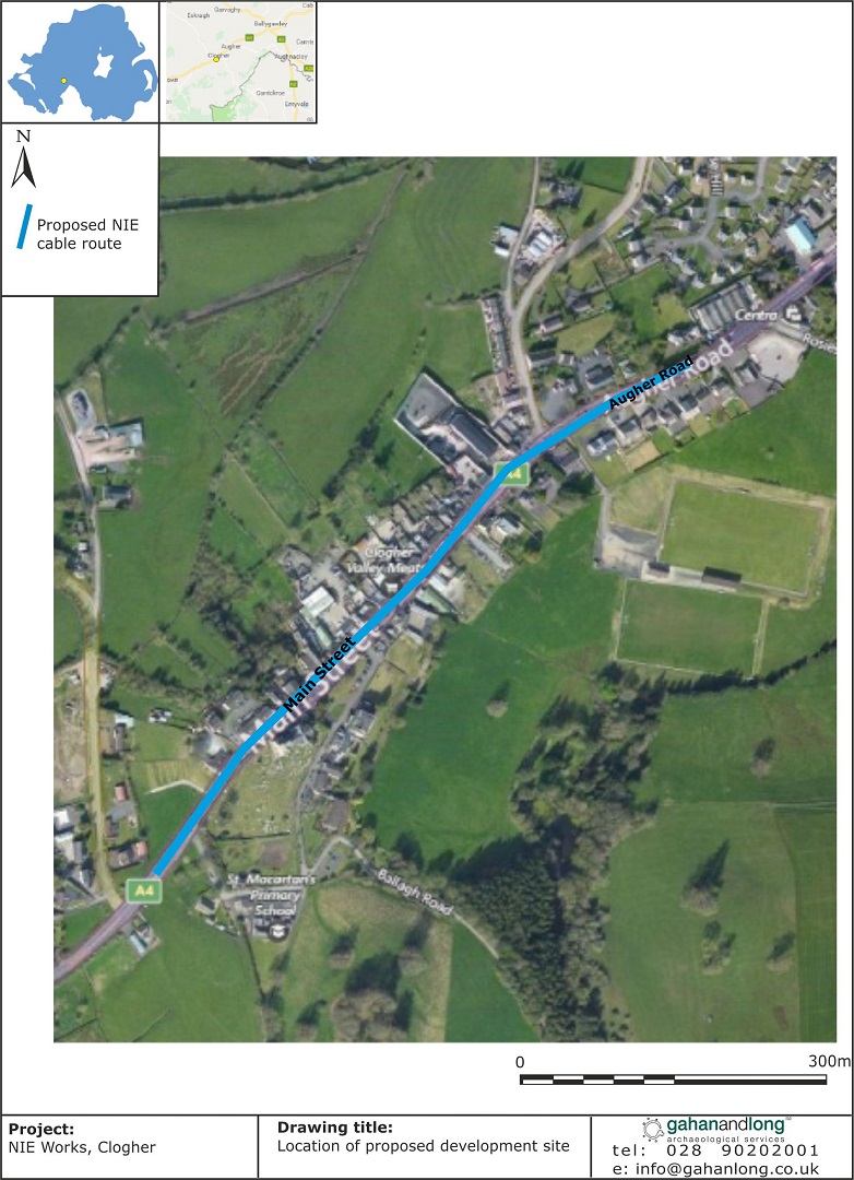
2018:156 - CLOGHER: NIE works, Main Street, Tyrone
County: Tyrone
Site name: CLOGHER: NIE works, Main Street
Sites and Monuments Record No.: TYR059-085
Licence number: AE/18/41
Author: Peter McAuley, Gahan and Long Ltd
Author/Organisation Address: 7-9 Castlereagh Street, Belfast, BT5 4NE
Site type: No archaeology found
Period/Dating: N/A
ITM: E 653929m, N 851870m
Latitude, Longitude (decimal degrees): 54.412549, -7.169201
An archaeological evaluation was carried out during the lay out of 33kv U/G cables through Clogher village at an approximate length of 1.5km and depth of 1m. The NIE work is associated with the Tiege’s windfarm project. The works are located near the Area of Archaeological Potential for Clogher village, which represents the historic core of the settlement (TYR 059:085).
Monitoring was conducted of the cable trenching as the route extended through Clogher AAP. The trench was 0.5m wide and was on average 1m deep. In general the stratigraphy of the cable trenches was consistent throughout the length of the trench. The current road surface is the tarmac which on average was 0.15m thick. This overlay a deposit of clean quarry stone. The deposit was on average 0.4m thick. This is turn overlay a stoney deposit of mid grey silty clay which was on average 0.3m thick which in turn overlay naturally occurring subsoil which ranged from a orange to a mid grey silty clay containing occasional to moderate amounts of stone.
Nothing of archaeological significance was identified during the monitoring.

