2018:576 - JAMESTOWN: Ratoath Outer Relief Road, Meath
County: Meath
Site name: JAMESTOWN: Ratoath Outer Relief Road
Sites and Monuments Record No.: N/A
Licence number: 18E0136
Author: Niall Roycroft
Author/Organisation Address: C/o Meath County Council
Site type: No archaeology found
Period/Dating: N/A
ITM: E 702585m, N 750909m
Latitude, Longitude (decimal degrees): 53.498169, -6.453825
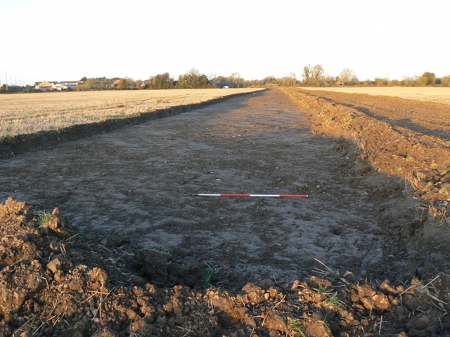
Area 1A: Previously numerous smaller fields but now incorporated into a large, single field. Low topography and high clay content of subsoil indicated this area was probably an ancient flooding zone/water meadow to the Broad Meadow River. The Broad Meadow River was realigned into the present canalised channel in the 19th century and runs through the northern part of the site.
Area 1B: Moulden Bridge was previously scheduled for demolition. However, this design changed and a new culvert was built through the bridge’s western abutment, so that the bridge remains in situ for the present. The bench mark on the northern parapet as marked on the OS third Edition map was recorded photographically.
Area 1C: A slightly higher area of ground than Area 1A. Modern field drains noted. Aerial images show cropmark anomalies on a knoll-like still-higher ground to the east. No archaeological remains recorded in the test trenches.
Monitoring of various work areas continued on and off until May 2019. No archaeological features or artefacts were discovered.

