2018:235 - KILLESHIN, Laois
County: Laois
Site name: KILLESHIN
Sites and Monuments Record No.: N/A
Licence number: 18E0313
Author: Seán Shanahan & Edel Barry, Shanarc Archaeologhy Ltd.
Author/Organisation Address: Unit 39a, Hebron Business Park, Hebron Road, Kilkenny
Site type: No archaeology found
Period/Dating: N/A
ITM: E 667162m, N 677788m
Latitude, Longitude (decimal degrees): 52.846831, -7.002962
A total of 5 test trenches were monitored at Killeshin, Co. Laois in accordance with Condition 16 of Laois County Council’s planning reference Pl. Ref. 16/646.
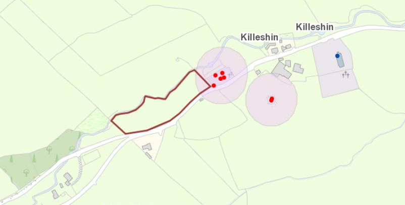
The site is situated approximately 350m south-west of the village of Killeshin. At the time of testing the site, measuring approximately 1.1922ha, was in agricultural use. The site had an irregular boundary to the north created by the River Fusheoge, with a local road forming the boundary to the south. Mature hedgerows enclosed the site on all sides. The ground within the proposed development site was uneven, sloping downwards towards the north-east end and towards the river at the north-west, and was surrounded to the north and west by an undulating landscape.
Excavation work consisted of 5 test trenches, 2m in width 15–19m in length and varying in depth from 0.2m to 0.7m. Soil stratigraphy was quite uniform throughout the site with 0.1m of sod and 0.1m of topsoil sealing subsoil comprising orange/brown clay-silt with areas of shale rock.
All 5 trenches were devoid of archaeological activity.

