2018:469 - R942 TUAM PAVEMENT WORKS (Area 1), Galway
County: Galway
Site name: R942 TUAM PAVEMENT WORKS (Area 1)
Sites and Monuments Record No.: GA029-178, GA029-179
Licence number: 18E0266
Author: Tony Bartlett, Archaeological Management Solutions Ltd.
Author/Organisation Address: Unit 1, Hector Street Mills, Kilrush, Co. Clare.
Site type: Burial
Period/Dating: Undetermined
ITM: E 543174m, N 751920m
Latitude, Longitude (decimal degrees): 53.514184, -8.856791
Monitoring was undertaken of groundworks associated with the R942 Tuam Pavement Works, Tuam, Co. Galway, carried out by Galway County Council, with funding by Transport Infrastructure Ireland.
The R942 Tuam Pavement Works involved excavating and replacing the existing road materials to a depth of c. 0.5m, over a distance of c. 1900m, in the western outskirts of Tuam town, in the townlands of Townparks (First Division), Townparks (Second Division), Blackacre and Demesne.
The areas monitored were at two locations: Area 1 (Licence No. 18E0266) in the environs of the site of the former Abbey of the Holy Trinity (GA029-178) and St Mary’s Cathedral (GA029-179) in the townland of Townparks (Second Division); and Area 2 (Licence No. 18E0267) in the environs of a former ringfort with a cillín (children’s) burial ground (GA029-171) in the townland of Townparks (First Division).
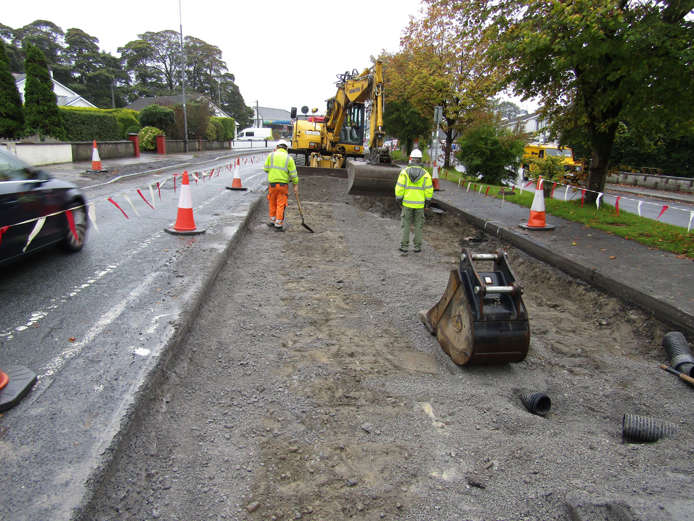
This bulletin relates to the monitoring undertaken in Area 1. The archaeological works here included the monitoring of groundworks for the overall road resurfacing works as well as a drainage services trench. Road resurfacing groundworks involved the removal of the existing tarmac surface with a cold planer or rotomill to a maximum depth of approximately 0.2m. Thereafter a tracked machine with a toothless flat grading bucket was used to excavate the ground surface along the entire length of the monitoring area. Road resurfacing groundworks were excavated to a maximum depth of 0.5m into built-up overburden road material. The drainage services trench was excavated using a tracked machine using a toothless flat grading bucket and ranged from 0.9m to 1.8m in depth and was 0.9m in width.
Within the drainage services trench a single archaeological feature, a badly truncated and poorly preserved inhumation burial (Burial SK1) found within a simple east–west, narrow and shallow earth-cut grave cut, was revealed and fully excavated during the monitoring works. Two post-medieval features, a set of timber bases possibly for posts associated with the railway crossing traversing the R942 road, and a stone-built drain, were also recorded within the drainage services trench. A small assemblage of disarticulated and redeposited human remains was found during the monitoring works, both in proximity to the inhumation burial and within the general works area of the road resurfacing works.
The skeletal remains from Burial SK1, as well as all disarticulated human remains recovered from the monitoring works, will be analysed and a report concluded. A radiocarbon date for the skeleton will be applied for after the conclusion of the analysis.

