2018:219 - LETTERFRACK, Galway
County: Galway
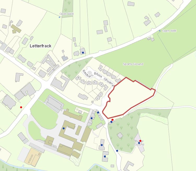
Site name: LETTERFRACK
Sites and Monuments Record No.: N/A
Licence number: 18E0711
Author: Seán Shanahan, Shanarc Archaeology Ltd.
Author/Organisation Address: Unit 39a, Hebron Business Park, Hebron Road, Kilkenny
Site type: No archaeology found
Period/Dating: N/A
ITM: E 471102m, N 757696m
Latitude, Longitude (decimal degrees): 53.553340, -9.945335
Test excavations were monitored at Letterfrack, Co. Galway in accordance with a Request for Further Information put forward by Galway County Council (1, Pl. Ref. 18/1079) in relation to the site of a proposed housing development.
A total of 10 test trenches were excavated within the proposed development area. The trenches measured 2m in width and approximately 30m in length, and varied in depth from 0.3m to 3m.
Stratigraphy of the tested areas comprised 0.15m of sod overlying 0.3–2.8m of dark brown peat. Where subsoil was reached this comprised a mottled light brown/orange gritty sandy silt having frequent small and medium sized angular stones.
A stone-filled drain was uncovered at the northern end of Trench 1. A post-medieval red fabric pottery sherd was found in this feature.
A pit was uncovered at the eastern side of Trench 8.
No archaeology was found in the remaining trenches.