2018:874 - TATTYREAGH, Fermanagh
County: Fermanagh
Site name: TATTYREAGH
Sites and Monuments Record No.: N/A
Licence number: AE/18/139
Author: Alan Mc Combs, John Cronin & Associates
Author/Organisation Address: 28 Upper Main Street Buncrana Co. Donega
Site type: Burnt spread and Kiln
Period/Dating: Multi-period
ITM: E 244187m, N 346468m
Latitude, Longitude (decimal degrees): 54.361792, -7.326305
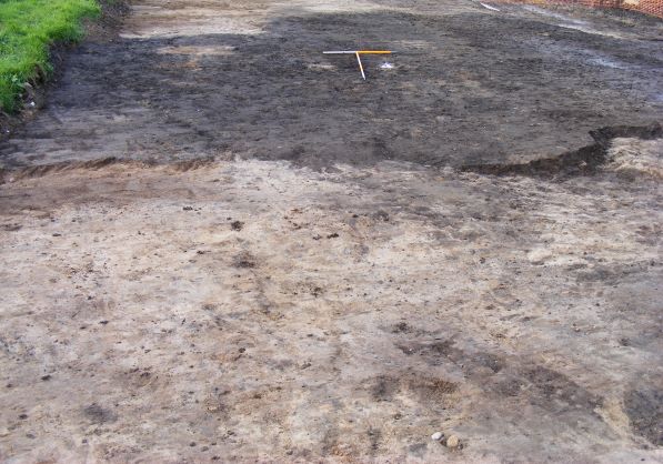
In Section 84 on the Gas to the West project archaeological material was identified in four plots in the townland of Tattyreagh, County Fermanagh. Five cereal-drying kilns were uncovered. Three of these were fully excavated and two were preserved in situ. Five burnt spreads were identified and fully excavated.
For identification, and simplification purposes the kilns were identified as [c.05] central, [c.10] most northerly, [c.09] most southerly, [c.03] most easterly and [c.07] most westerly.
Kiln cut [c.03] is keyhole-shaped, measuring 4.25m in length, 1.1m in width, and 0.37m in depth; it is orientated north-east/south-west.
Kiln [c.05] is keyhole-shaped, measuring 2.4m in length, 1.25m in width and 0.33m in depth; it is orientated north-east/south-west.
Kiln [c.07] is keyhole-shaped, measuring 2.6m in length, 1.76m in width and 0.44m in depth; it is orientated north-east/south-west.
It was determined that construction of the gas pipeline would not impede on possible Kiln [c.09] and Kiln [c.10]. They were recorded and preserved in situ. The most southerly possible Kiln [c.09] is sub-circular in plan, measuring 2m in length and 1.7m in width. The most northly Kiln [c.10] is keyhole-shaped in plan and is orientated south-west/north-east, it measured 3.3m in length and 1.6m in width.
Burt spread No.1 is 350m south-west of the kilns, it was irregular in plan, had a length of 5m, and a width of 2.6m minimum. The site has been disturbed by fluvial flooding, drainage and cultivation. It may be possible that the burnt spread is ex situ.
Burnt spread No.2, 400m south-west of No.1, identified as ex situ or possibly the remnants of land clearance.
Burnt spread No.3, 200m south-west of No.2, was irregular in shape, it was 3.94m in length, 3.56m in width and an average depth of 0.4m. It consisted of soft silty sand, charcoal and burnt sandstone. A trough cut was identified cut into natural, it is sub-rectangular in shape, 2.1m length, 1.5m width and 0.56m in depth. It is orientated south-west/north-east.
Burned spread No.4, 100m west of No.3, is 12.1m in length, 10.1m minimum width (limit of excavation) and 0.3m depth. A trough was discovered, sub-rectangular in plan, length 2m, width 1.2m and depth 0.22m; orientated north-north-west/south-south-east.
Burned spread No.5, 500m south-west of No.4, was identified as a possible burned spread, archaeologists investigated and identified ex-situ hill wash.
Post-excavation works are ongoing.