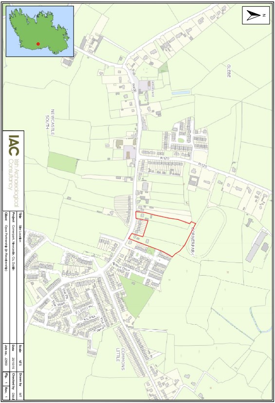
2018:919 - CORNER PARK, Newcastle, Dublin
County: Dublin
Site name: CORNER PARK, Newcastle
Sites and Monuments Record No.: DU020-003/DU021–017
Licence number: 15E0466
Author: David McIlreavy, c/o IAC Archaeology Ltd.
Author/Organisation Address: Unit G1 Network Enterprise Park, Kilcoole, Co. Wicklow
Site type: No archaeology found
Period/Dating: N/A
ITM: E 700216m, N 728888m
Latitude, Longitude (decimal degrees): 53.300794, -6.496509
A programme of archaeological monitoring took place intermittently at Cornerpark, Co. Dublin, during construction works for a residential development. The monitoring was undertaken on behalf of McGill Planning Ltd. It followed on from a previous archaeological testing carried out under the same licence in response to planning conditions issued by South Dublin County Council.
The overall stratigraphy comprised the topsoil of a brownish grey silty clay, which ranged from 0m–0.25/30m, and a formation level or plough-soil of a greyish brown silty clay which ranged from 0.25m–0.25/60m. The natural was exposed at a depth of 0.4/0.5m and consisted of a light brown well-compacted clay. The natural bedrock was occasionally exposed.
Nothing of archaeological significance was identified as the formation level of the stripping was the plough-soil horizon.

