2018:822 - CLONARD OR FOLKSTOWN GREAT, Dublin
County: Dublin
Site name: CLONARD OR FOLKSTOWN GREAT
Sites and Monuments Record No.: N/A
Licence number: 18E0238
Author: John Purcell
Author/Organisation Address: —
Site type: Pit
Period/Dating: Neolithic (4000BC-2501 BC)
ITM: E 718301m, N 763668m
Latitude, Longitude (decimal degrees): 53.609476, -6.212244
Excavation was undertaken as part of Phase two of a large development in Folkstown/Clonard. The site is located in an area with large amounts of prehistoric archaeology. The site had been archaeologically tested following a geophysical survey between 2005 and 2007. These works uncovered a number of possible remains including pits, linear ditches and a possible curving enclosure.
Excavation at an adjacent site (15E0586) to the south uncovered a series of prehistoric remains including a Mesolithic walkway, Bronze Age burials and a burnt mound. These were centered around a wetland area.
The current excavation site was divided into separate areas, labelled A to F.
Area A
Area A consisted of a rectangular area measuring 150m north-west/south-east by 75m. The area was mainly characterised by a palaeochannel orientated north-east/south-west C10), linear enclosing ditches and some evidence for Neolithic activity in the form of a curvilinear channel (C18), and the burnt remnants of a possible hearth (C17). A number of flint flakes a core and blade dated these features to the Neolithic.
A number of long, relatively shallow ditches were also uncovered outlying the large palaeochannel. These are difficult to interpret but they appear to be contemporaneous as they merge rather than cut through one another. They contained no dating evidence.
Area B
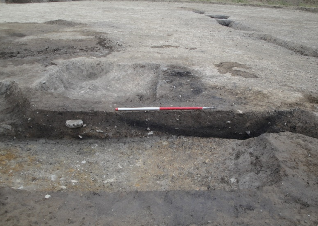
This irregular area measured 100m north-south by 75m. A number of features were uncovered, however most appear to relate to modern agricultural activity. The only possible exception is a small circular pit [C50] measuring 0.67m in diameter with a depth of 0.23m. The fill (C51) contained a dark brownish-black compact silty clay with charcoal flecking and stones up to 0.15m in size. Less than 1m to south-west of [C50], a small deposit (C52) of burnt soil and charcoal in a silty clay matrix measuring 0.28m in length, 0.12m in width and with a depth of 0.02m was also investigated. The spatial proximity of these features to each other means that they are likely to be contemporaneous. However, the lack of dating evidence recovered and the isolated nature of these features makes them difficult to interpret.
Area C
This roughly square excavation area measuring 50m by 50m and contained a single post-hole [C100] and a linear deposit within a plough furrow (C102). The post-hole had a diameter of 0.25m and a depth of 0.13m. It was sealed by a layer of topsoil that covered the entire area.
Area D
Area D measures 31m north-east/south-west by 23m. A compound for the development was to be located here. This area was characterised by two narrow linear features. [C150] is a narrow west-north-west/east-south-east oriented ditch measuring 8.35m long, 0.57m wide and 0.24m in depth. The ditch had a sharp break of slope on its top edge and a U-shaped base. Its fill (C151) consisted of a mid-greyish-brown, very compact silty clay with small stones. No finds were recovered from this feature. Another similar ditch/drain [C152] oriented north-east/south-west was also excavated. This ditch had a maximum length of 27m, was 0.55m wide and 0.25m in depth and had a similar profile to [C150] excavated nearby. A single sherd of modern tin-glazed earthenware was recovered from (C153), confirming its modern date.
Area E
This area was highlighted in the previous assessment as containing potential archaeological features. A large area was stripped to the boulder clay. A series of linear drainage channels were uncovered in this area. These were of no archaeological significance.
Area F
This area included the burnt spread 17/1 (DU002021). The spread extended for 7m by 10m and was up to 0.4m in depth. It is located at the south of the development along the boundary with the national school. No remains of this feature were recorded during the works. This area had been extensively excavated during Phase one when the area was reduced by between 0.4m and 1m.
The features uncovered as part of the excavation have included worked Neolithic flints including a core, flakes and a blade. This places the series of pits excavated into the Neolithic landscape uncovered during the other excavations in the townland and among monuments recorded in the RMP for the wider area. The eastern seaboard of Ireland has long been associated with prehistoric settlement. This area was intensively and repeatedly settled during this period. Clonard or Folkstown Great contains sites from the Mesolithic through to the Bronze age and the Medieval period.