2018:765 - DUBLIN PORT ABR PROJECT, Capital Dredging, Season 1; Approach Channel and Outer Fairway, Dublin
County: Dublin
Site name: DUBLIN PORT ABR PROJECT, Capital Dredging, Season 1; Approach Channel and Outer Fairway
Sites and Monuments Record No.: N/A
Licence number: 17E0153, 17E506, 17D0026, 17D077, 17R0045, 17R0196
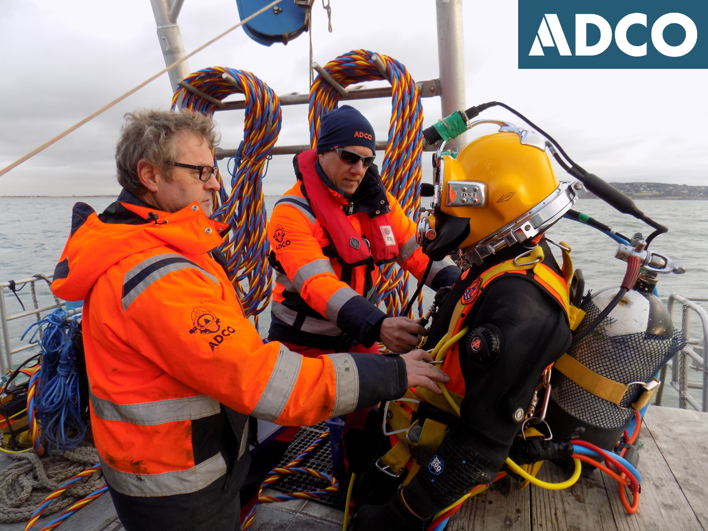
Author: Rex Bangerter, ADCO
Author/Organisation Address: No. 2, Main Street, Bennettsbridge, Co. Kilkenny
Site type: Wreck
Period/Dating: Undetermined
ITM: E 727030m, N 733017m
Latitude, Longitude (decimal degrees): 53.332134, -6.092797
ADCO is appointed project archaeologist for the Alexandra Basin Redevelopment Project (ABR). The ABR project sees the progressive upgrading of the nineteenth- and twentieth-century quaysides of the Port’s deepwater facility, Alexandra Basin, and the associated works that include capital dredging in the approach channel, which extends from Alexandra Basin to the Dublin Bay Buoy some 10km to the east, to increase the ruling depth from -7m CD to -10m CD. A series of archaeological licences have been granted to cover the broad spectrum of work involved. Licence 17E0153 was issued for underwater investigations conducted within the approach channel, and 17E506 covers the monitoring of the Capital Dredging operations.
Capital Dredge Season 1 ran over a six-month period between October 2017 and March 2018. A series of underwater investigations were conducted in advance of the dredging and during intervals between dredge cycles. Some 201 artefacts were recovered during the monitoring work. A new shipwreck site has been identified and a preliminary investigation of the wreck site has been completed.
The archaeological work undertaken as part of Capital Dredge Season 1 is summarised below:
1. Dive operations at Site 1 were carried out between 10 and 24 July 2017. In order to re-establish the precise location observed in 2014 and ensure that any potential shipwreck remains protruding from the seabed were identified and located, a series of circular searches were carried out of the seabed surrounding the location of the shipwreck inventory site W01553. The underwater visual inspection was extensive and covered a seabed area of over 3000m². However, no structural components from a shipwreck were encountered as part of this non-disturbance assessment, although a galley brick (F01) and several pieces of metal slag were located at ITM: 727265E, 733249N (Lat/Long: 53° 20.035N, 6° 5.292W), close to the find-spot of a galley brick recovered in 2014.
2. Dive operations at Site 2 (off Poolbeg Lighthouse) were carried out between 3 and 7 July and on 25 July 2017. The ships’ timbers identified in 2014 were re-located, along with a series of additional timbers. Seabed datum points were established (D1–D6) to facilitate recording (triangulation/offset measurements) and the positioning of two seabed test-trenches.
A total of twenty-eight (28) timbers were recorded as part of the investigation, the majority of which (Timbers T01–T26) are positioned along the west and north-west extent of the rock armour; running between ITM: 723071E, 734069N and 723039E, 734051N. Two further timbers were also located c. 49m to the west, positioned close the base of the adjoining South Wall. Examination of the displaced spread of the timbers indicates that the main body of the wreck remains in situ beneath the mass of the rock amour itself. It appears that the exposed timbers may have been removed/pushed out from the shipwreck by the placement of the rock armour. Moreover, it is evident from the initial analysis of the timbers that the wreckage comes from a larger vessel (shipwreck) rather than a boat-wreck or similar. It is also likely, judging from the spread of timbers, that the main body of the wreck is orientated north-east to south-west.
3. A total of six hundred and seventeen (617) dredge-runs were completed as part of the first capital dredge season. One hundred and thirty (130) dredge runs were completed during the first mini-dredge campaign, with one hundred and eighty-three (183) being completed as part of the second mini-dredge campaign. A further one hundred and twenty-six (126) dredge-runs were completed as part of Campaign No. 3, with one hundred and seventy-eight (178) being completed as part of Campaign No. 4 (4A/4B). The operations were subject to archaeological monitoring by ADCO. A total of two hundred and one (201) objects were recovered as part of the monitoring of the first season of capital dredging. The majority of these finds constitute ship-related timbers comprising both framing and planking components, totalling one hundred and twenty (120) frames and ten (10) plank sections. Many of the other items are also ship-related. These comprise ten (10) fired bricks (some of which are possible galley bricks), seven (8) anchor pieces, twelve (12) iron-fastening components, two (2) cannon balls, a fragment of copper sheathing, and the head piece from a wooden barrel. A series of thirty-eight (38) miscellaneous items were also recovered that included four (4) cast-iron deck bollards, two (2) iron barrel hoops, a brass deck light-fitting, an iron horse shoe, a cast-iron ballast weight, a kiln tile fragment, and various cast-iron items. Three (3) millstone fragments were also recovered, two (2) of which combine to form a single millstone. Eight (8) pieces of timber forming a wooden millstone axel were also retrieved.
Monitoring established a probable source location for the millstone and a series of ship-related timbers. A 120m diameter (60m-radius) exclusion zone was imposed on this location, in accordance with the protocol put in place through the Archaeology Management Plan. Subsequent underwater assessment of this area confirmed the presence of in situ wreckage, situated 33.9m west of the centre-point of the exclusion zone, and a detailed underwater survey of the wreck site was carried out. The wreck is previously unknown and lies towards the top of the channel slope; it is orientated south-south-west to north-north-east, with the lowest point of the wreck lying at -7.19m Chart Datum (CD). The exposed section of wreckage measures 12.29m in length and c. 6m in width (max). A total of thirty-one (31) in situ flooring and/or first futtock timbers (framing timbers) are exposed along the port side of the vessel, with thirteen (13) located along the starboard side (FT01-FT31 and FT34-FT46). In agreement with National Monuments Service, it was possible to reduce the exclusion zone to a diameter of 50m (25m radius) around the wreck; centrepoint coordinate ITM 724273.21E, 734269.22N, or 53º20.642N Latitude 06º8.020W Longitude. The name ‘Millstone Wreck’ has been ascribed to the site.
After the investigation underwater was completed, Storm Emma happened in March 2018. A multibeam survey conducted following the storm indicated that the wreck site lied buried beneath c. 1m of seabed re-deposition; reburial of the wreck being caused by storm-related slumping of sediments from the north side of the channel. Subsequent underwater inspection confirmed the burial depths of 1m+ across the site. The exclusion zone is now subject to regular underwater inspection to record sediments depths across the wreck site.