2018:763 - SHANNON ESTUARY, Cross Shannon 400kV Cable Project, Clare
County: Clare
Site name: SHANNON ESTUARY, Cross Shannon 400kV Cable Project
Sites and Monuments Record No.: N/A
Licence number: 17D0070, 17R0164, 17R0168
Author: Rex Bangerter, ADCO
Author/Organisation Address: No. 2, Main Street, Bennettsbridge, Co. Kilkenny
Site type: Excavation - miscellaneous
Period/Dating: Multi-period
ITM: E 504517m, N 649658m
Latitude, Longitude (decimal degrees): 52.589805, -9.409181
Archaeological Impact Assessment carried out in advance of the proposed Cross Shannon 400kV Cable project. The assessment included the intertidal foreshore in anticipation of possible cable landfall locations in counties Clare and Kerry, and marine geophysical survey data interpretation of a comprehensive dataset acquired across the marine survey area. The assessment work was completed under licence from the DCHG; numbers 17D0070 and 17R0164 for intertidal elements, and 17R0168 for marine geophysical survey. The intertidal work was undertaken by Rex Bangerter and the Marine Geophysical component by Dr. Niall Brady.
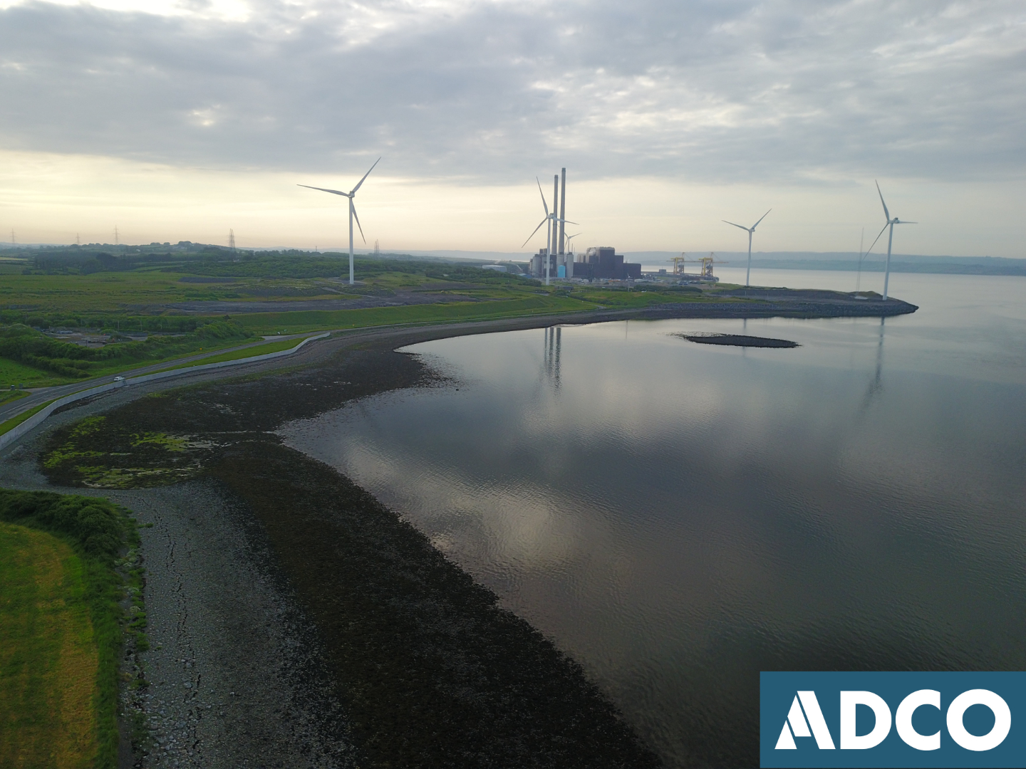
The submarine cables are to cross the Shannon Estuary between the townlands of Carrowdotia South and Poulnadaree (Co. Clare) and the townlands of Kilpaddoge and Coolnanoonagh (Co. Kerry). The survey considered three (3) possible crossings, a preferred route option having yet to be selected. The coordinates for the identified landfall locations are as follows:
• N1 ITM 502547E, 652177N
• N2 ITM 504292E, 651252N
• N3 ITM 505701E, 651252N
• S1 (eastern end) ITM 504479E, 648533N
• S1 (western end) ITM 505371E, 648777N
The foreshore assessment included systematic visual inspection of the intertidal and upper foreshore at each of the potential landfall areas, Areas N1-N3 and S1. The work was conducted on a Low Water Spring tide on 7–8 June 2018 to maximize exposure of the foreshore. A metal-detection survey of sample areas at each location was also included in the survey.
Eight (8) features of archaeological/historical interest were encountered as part of the intertidal inspection (Features F01–F08). The majority of features are related to the nineteenth-century exploitation of the estuary (Landfall Areas N3 and S1): F01 (quay/slip), F02 (curvilinear structure), F03 (wall foundations), F05 (dwelling/boat house), F06 (berth/slipway), and F07 (lime kiln). Two features present greater antiquity. Feature F04 (Landfall Area 3) is a section of submerged woodland and peat-saltmarsh that is likely to date back to prehistory. Feature F08 (Landfall Area S1) appears to from part of a souterrain, or underground passageway that typically dates to the early medieval period (c. 500–110 AD). An Area of Potential (AP1) is also identified for Landfall area N2, corresponding to the location of a cartographic feature adjacent to Money Point Quarry.
The marine geophysical survey extended over a wide area. Multibeam bathymetry, side-scan sonar, magnetometry and sub-bottom profile data sets were subject to review and interpreted archaeologically by ADCO.
No archaeologically significant features were observed in the data sets and there were no clearly defined features associated with a shipwreck. A series of thirty one (31) side scan sonar anomalies were identified, along with ten (10) magnetometer anomalies. The data highlighted two (2) areas of interest, ss18 and mg 10.
• side scan sonar anomaly ss18, in the southern sector of the survey area, off Carhoonakineely townland in Glencoosagh Bay is a stone alignment that lies close to a former fishtrap and may be related to it.
• magnetometer data (mg10) highlights the inshore area at the north side of the survey area in the vicinity of landfalls N2 and N3 as a busy sea area that can be expected with the presence of the former quarry sites and quays to the east of Moneypoint Power Station.
There are only a few anomalies identified in the data set that cannot be more readily explained in terms of natural features or obvious modern artificial features and structures. A list of thirty-one (31) side scan sonar anomalies was identified from the data set. There is no clear indication from any of the anomalies that they are associated with shipwreck or other human intervention, and it is likely that they are either natural elements such as rock or are debris that is essentially of recent date, with one possible exception (anomaly ss18). A stone alignment was recorded close to the south shore (ss18) and within 126m of a fishtrap feature recorded on the OS first edition map.
A series of ten (10) stand-alone magnetometer anomalies were also identified, these not being associated with any other geophysical anomalies form the data sets. These anomalies are spread randomly across the survey area. The absence of seabed surface features suggests that the magnetic anomaly is buried and as such is not visible.