2018:302 - LURGAN: Hunter’s Lodge, Drumnakelly (Phase 2), Armagh
County: Armagh
Site name: LURGAN: Hunter’s Lodge, Drumnakelly (Phase 2)
Sites and Monuments Record No.: N/A
Licence number: AE/18/212
Author: Gavin Donaghy
Author/Organisation Address: 638 Springfield Road, Belfast, BT12 7DY
Site type: Excavation - miscellaneous
Period/Dating: Multi-period
ITM: E 707005m, N 860090m
Latitude, Longitude (decimal degrees): 54.477987, -6.348884
Excavation took place between 10 and 21 December 2018 of several archaeological features at the location known as Hunter’s Lodge, Lurgan Phase 2.
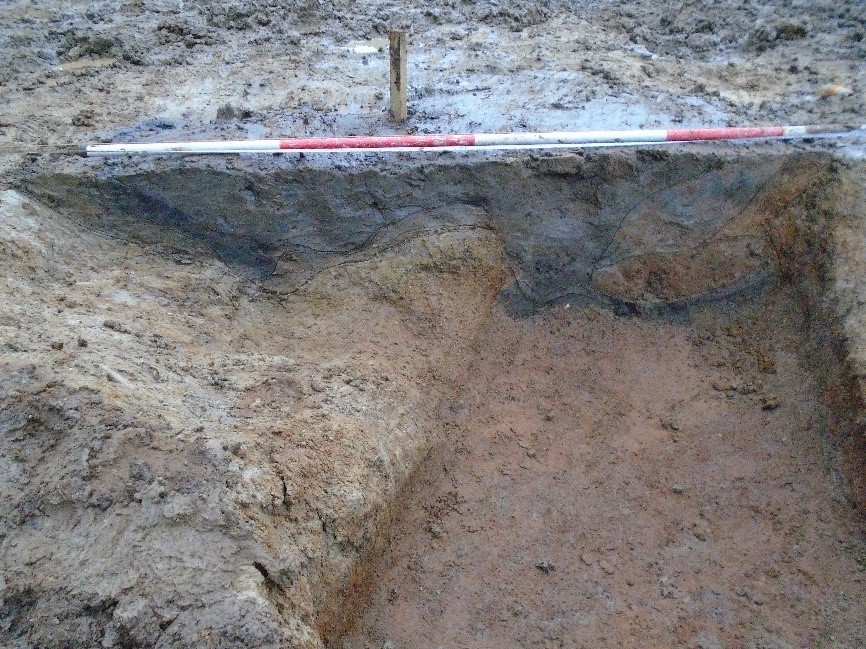
Excavation of all identified features showed them to be a mixture of animal activity burrows, modern agriculture hollows and seven pits of unknown function. The pits were investigated further as three were vertically sided and flat bottomed. Artefacts uncovered from the excavation included a piece of struck flint, several pieces of worked wood, one of which resembled the base of a wooden bucket, a piece of post-medieval glazed pottery and some sheep bones and teeth.
The investigated features appeared to be aligned to boundaries and access lanes surrounding and associated with Annesbrough House and are first seen on the 1st edition OS map dated to 1833. The features represent a manipulation of the landscape that hints to a possible change of status and use of the land. A piece of 18th-century Staffordshire Brownware pottery was found in very close proximity to these features and indicates a possible date for this activity.