2017:542 - RIVER SUIR, Waterford City, Waterford
County: Waterford
Site name: RIVER SUIR, Waterford City
Sites and Monuments Record No.: N/A
Licence number: 17D0025, 17R0044
Author: Rex Bangerter, ADCO
Author/Organisation Address: No. 2, Main Street, Bennettsbridge, Co. Kilkenny
Site type: Quay
Period/Dating: Modern (AD 1750-AD 2000)
ITM: E 660729m, N 612895m
Latitude, Longitude (decimal degrees): 52.264300, -7.110320
Underwater Archaeological Impact Assessment (UAIA) took place at six (6) riverbed impact locations associated with the proposed Waterford City North Quay Footbridge (Survey Areas 1–6, Piers A–F). The assessment work was undertaken as part of pre-planning conditions associated with proposed development.
The proposed footbridge measures 220m in length x 7m in width and will cross the River Suir at a point approximately 236m downstream of the existing Edmund Rice Bridge; crossing between the North Quay (ITM: 660729E, 612895N) and Meagher’s Quay (Merchants Quay) to the south (ITM: 660665E, 612687N). The structure will be supported by a series of bridge piers that will directly impact upon the riverbed at locations within the river channel and to the channel sides. These locations are as follows: Pier A, ITM: 660727E, 660727N; Pier B, ITM: 660717E, 612860N; Pier C, ITM: 660704E, 612821N; Pier D, ITM: 660682E, 612755N, and Pier E, ITM: 660669E, 612716N. Pier F, ITM: 660665E, 612687N, will constitute a landfall/tie-in pier that forms a bridge anchor-point onto Meagher’s Quay.
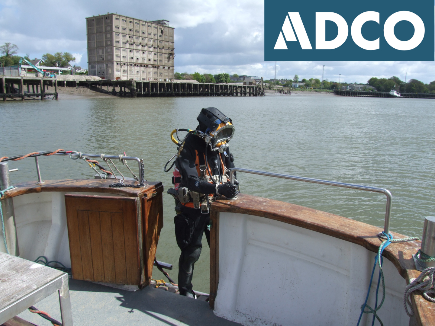
The archaeological work included a detailed desktop study, including cartographic analysis, of the area under assessment. Onsite work comprised the systematic and comprehensive assessment of the riverbed surrounding the impact locations, extending beyond the identified limits of each impact. The assessment recorded riverbed topography, provided a detailed account of the existing riverside environment, and described any riverine features encountered. The on-site work was carried out on 24–25 April 2017.
The UAIA confirmed that sections of historic quay (Features F01–F02) and associated timber wharfing depicted on the OS 25-inch map remain in situ beneath the concrete quay that currently delineates the north side of the river channel at that location. In addition, the potential for riverbed deposits to retain material of archaeological significance is highlighted by the presence of wreck-related material (Feature F03), comprising two planking timbers and part of a rigging-block from a sailing vessel. This wreckage was encountered at a point 5.5m south-west of the proposed location of Pier E, lying outside the impact location associated with the proposed development. No further archaeologically or historically significant material, structures, or deposits were identified as part of the assessment at the six pier impact locations.