
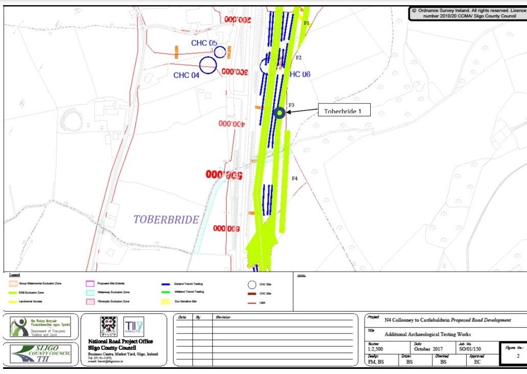
County: Sligo Site name: Toberbride 1
Sites and Monuments Record No.: N/A Licence number: E004921
Author: Orlaith Egan, TII
Site type: Cremation pits and spread
Period/Dating: —
ITM: E 568316m, N 824900m
Latitude, Longitude (decimal degrees): 54.172088, -8.485259
Additional Stage (i) archaeological testing in advance of the N4 Collooney to Castlebaldwin Road Development, Co. Sligo, was undertaken because two separate areas of the proposed development were substantially or partially omitted from the Standard Test Excavation- Ministerial Directions Number A0701, registration number (E004627) undertaken by Rubicon Heritage in March 2016. The reasons for the omission of these areas was the presence of large overhead powerlines. Testing took place in September 2017 and revealed in Toberbride townland one small archaeological site consisting of a charcoal spread and three pits. A method statement for the excavation of an archaeological site (Toberbride 1) was submitted and processed as E004921. Excavation of the pits (0.6-0.9m deep) revealed the presence of struck chert, flint and quartz lithics including a leaf-shaped arrowhead, possible flint scraper, burnt bone and prehistoric pottery shards. Two of the pits had been subject to some disturbance due to animal burrowing. The thin (10-20mm) charcoal-rich spread was interpreted as a single-use hearth possibly associated with the three pits. Also found in the general vicinity were eleven roughly struck chert lithics. Prior to specialist, carbon dating and environmental reports the site is interpreted as a series of three isolated cremation burials with associated ritual or ceremonial activity possibly dating from the Neolithic (c.4000–2500 BC).
Transport Infrastructure Ireland, Sligo Regional Design Office, Sligo County Council Unit 1, The Embankment Castle Street, Sligo F91 E4XY


