2017:614 - BARRY, Longford
County: Longford
Site name: BARRY
Sites and Monuments Record No.: N/A
Licence number: 17E0149
Author: Dominic Delany, Dominic Delany & Associates
Author/Organisation Address: Creganna, Oranmore, Co. Galway
Site type: Fulacht fia
Period/Dating: Prehistoric (12700 BC-AD 400)
ITM: E 615884m, N 761175m
Latitude, Longitude (decimal degrees): 53.600185, -7.760026
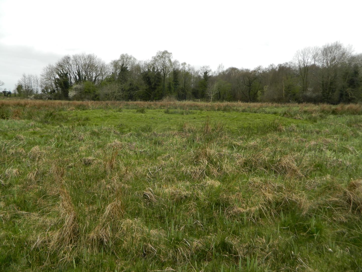
Monitoring was carried out on a proposed afforestation site at Barry, Co. Longford from 3–7 April 2017. Recorded monuments LF023-076 (Castle) and LF023-076001 (Moated site) are located in a field adjoining the development site to the south-east. This field was excluded from afforestation in order to provide a 100m exclusion zone from the outermost extent of the monuments. The area monitored consists of two low-lying fields located on either side of a small stream that flows north-south through the site. A previously unrecorded archaeological site was identified in the north of the field located on the east side of the stream prior to the commencement of groundworks. It consists of a slightly raised, circular area (diam. 16–19m) with a small, central depression (diam. 3m). A piece of sod at the west edge of the feature was upturned by the tracks of an excavator revealing black, charcoal-rich sandy silt with frequent small and medium burnt stone fragments directly under the sod. On this evidence the site was identified as a fulacht fiadh and, following consultation with the National Monuments Service, a 20m buffer zone was established around the monument. During monitoring of groundworks immediately north of the buffer a second, smaller spread of burnt material (dims c. 6m x6m) was uncovered. The previously-established buffer was extended to incorporate this spread. A band of re-deposited material extending c. 15m east-west and containing occasional burnt stone and charcoal was discovered 40–50m south of the fulacht fiadh. Examination of the wider area revealed no in situ fulacht material and planting was permitted to proceed in this area.
Monitoring in the north of the field on the east side of the stream revealed 0.2m of grey/brown clayey silt topsoil over 0.25m of dark brown/black peaty silt. Compact grey/white and light yellow/brown silty sand subsoil was occasionally exposed beneath the peat. In the south of the field there was 0.1–0.35m of grey/brown clayey silt topsoil over grey/white and light yellow/brown silty sand subsoil with frequent stone and occasional boulders. Monitoring in the north-west of the field on the west side of the stream revealed 0.4m of dark brown peaty silt topsoil with frequent small wood elements over a natural stony layer. In the south-east the land was noticeably drier and the topsoil (T 0.2m) comprised of less peaty dark brown silt with none of the wood elements recorded in the north-west. It overlay compact grey/white clayey silt and yellow/brown silty sand subsoil with frequent stone inclusions.

