2017:459 - A4, Enniskillen Bypass, Area E, Mullylogan, Gortadrehid Little, Gortadrehid Big, Fermanagh
County: Fermanagh
Site name: A4, Enniskillen Bypass, Area E, Mullylogan, Gortadrehid Little, Gortadrehid Big
Sites and Monuments Record No.: N/A
Licence number: AE/17/112
Author: Dermot Redmond, Gahan & Long
Author/Organisation Address: 7-9 Castlereagh Street, Belfast BT5 4NE
Site type: No archaeology found
Period/Dating: N/A
ITM: E 623917m, N 842506m
Latitude, Longitude (decimal degrees): 54.330709, -7.632286
An archaeological evaluation was conducted ahead of the construction of a new 2.1km stretch of road to the south of Enniskillen to link the A509 Derrylin Road with the A4 Dublin Road. The scheme is broadly aligned east-west, and crosses the River Erne to the east, and the Sillees River to the west.
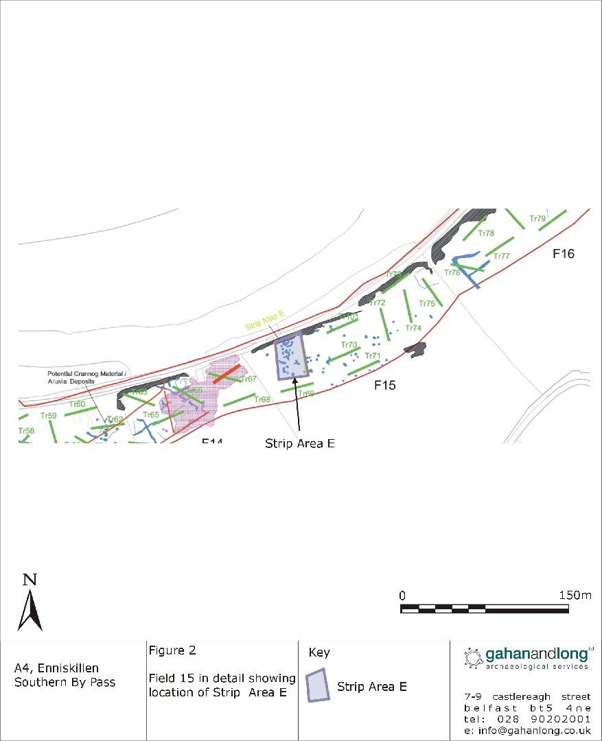
Strip Area E consisted of an area of 856 sq. m. in Field 15 of the evaluation. The area contained within it a number of anomalies which were identified during the geophysical survey (see plate). All topsoil removal within Area E was carried out by a mechanical digger fitted with a toothless bucket.
A single layer of topsoil was removed. It ranged in depth from 0.2–0.5m across the area. This topsoil was a grey-brown clay loam. It sealed the naturally occurring subsoil, which was an orange-grey clay. There were numerous modern stone drains throughout the area, extending in a variety of directions.
Nothing of archaeological significance was identified within Area E.