2017:856 - DUBLIN: Mount Argus, Harold's Cross, Dublin
County: Dublin
Site name: DUBLIN: Mount Argus, Harold's Cross
Sites and Monuments Record No.: N/A
Licence number: 15E0535
Author: Thaddeus Breen; Shanarc Archaeology Ltd.
Author/Organisation Address: Unit 39a, Hebron Business Park, Hebron Road, Kilkenny
Site type: Milling complex
Period/Dating: Post Medieval (AD 1600-AD 1750)
ITM: E 714243m, N 731496m
Latitude, Longitude (decimal degrees): 53.321385, -6.285227
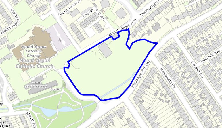
Archaeological monitoring and investigation were undertaken at Mount Argus, Harold’s Cross, Dublin 6W. This work was undertaken in accordance with Condition No. 8 of An Bord Pleanála approval Reference Number PL 29S.237974.
The work consisted of two parts. Firstly, all ground disturbances were monitored and the sub-surface deposits recorded. Secondly, an archaeological investigation of the Loader’s Park Mill complex was undertaken. This involved exposing the structural remains of the mill and associated buildings, and fully recording them. This excavation took place between November 2015 and May 2016, monitoring continued, where necessary, until June 2017.
The site formed part of the north-western side of the valley of the river Poddle, a small tributary of the Liffey. The present course of the river is an artificial channel constructed in the 1980s when the nearby houses were built. Prior to this, the river had flowed along the north-western part of the field, which is at a higher elevation. This unusual location, along with the former presence of a mill, strongly suggests that the river was diverted at some stage in the past to serve as a millstream, and that its original course was approximately where the ‘new’ channel is today. Deep excavation in that area as part of the development revealed a thick layer of soft dark grey silty clay, which would have formed the flood plain. This lower area, which formed approximately two-thirds of the site, was separated from the upper area by a gradual slope, but both excavation and cartographic evidence showed that until recently it had been more abrupt. This probably represents artificial embankment of the upper area when the mill stream was laid out.
The dark grey clay was 1.5–2m thick, overlying dark grey limestone at a depth of about 4m below the present surface. Above the dark clay, throughout the lower area, was a deposit, varying in thickness from 0.5m to 1.5m, of wet black clay containing large quantities of glass and ceramic refuse. This had evidently been used as a rubbish dump for some time in the twentieth century. Overlying this layer was a later layer of dumped material, this time consisting of builders’ rubble from the 1990s, deposited here when the housing estate to the north-west was built. This layer varied in thickness from 0.5m to 1.5m. It was thinner up the slope to the north-west than in the lower area; this was sealed by a thin layer of topsoil and vegetation.
Across the north-western part of the site, including the higher area, extensive remains of the mill were found. Although most of the superstructure of the mill had been demolished in the 1980s, extensive structural remains were found including watercourses, drains and the remains of a steel turbine. The mill pond and head-race could be identified in places by fragments of walls, but the base could only be distinguished in section as the interface between modern (1990s) fill and the natural clay below. This was a very hard, dense, impervious stony clay, which evidently rendered any paving unnecessary. The walls of the mill buildings survived in places to a height of up to 5.35m, but for the most part only the lowest part survived, especially where a modern sports hall (now demolished) had been built over it. This largely consisted of floors and drains. The most substantial feature in this area was the base of a chimney, with a long flue leading up to it.

