2017:617 - DUBLIN: Tonlegee Road, Coolock, Dublin
County: Dublin
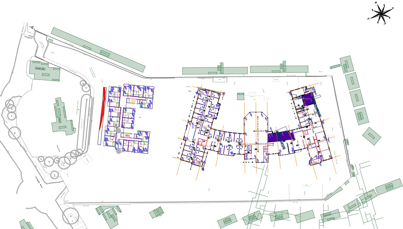
Site name: DUBLIN: Tonlegee Road, Coolock
Sites and Monuments Record No.: DU015-076003
Licence number: 17E0527
Author: Dominic Delany, Dominic Delany & Associates
Author/Organisation Address: Creganna, Oranmore, Co. Galway
Site type: Ecclesiastical enclosure
Period/Dating: Early Medieval (AD 400-AD 1099)
ITM: E 720263m, N 739367m
Latitude, Longitude (decimal degrees): 53.390753, -6.191924
Pre-development testing was carried out at Tonlegee Road, Coolock, Dublin 5, on 24 and 26 October 2017. The development site is located partly within the area of archaeological constraint for DU015-076, an early Christian ecclesiastical site associated with St. Brendan of Clonfert upon which now stands the mid-18th-century Church of St. John the Evangelist and its associated graveyard. Excavations by D.L. Swan in 1990 exposed a section of bank and outer ditch in the south-east of the graveyard and finds included a bronze pennanular brooch of 7th–9th-century date, a lead ingot and a piece of worked antler (1990:033). Other elements of a possible early ecclesiastical site included a plain granite cross, and a mill stone from the bottom part of a horizontal water mill.
Four test trenches were opened on the footprint of the proposed apartment block and associated services north-east of the church grounds. A curving linear feature (L 30m) was uncovered within Trench 3, which extended north-west/south-east along the proposed route of the foul sewer located between the apartment block and the church grounds. The feature was 1.2-1.5m wide and contained a fill of grey/brown clayey silt with frequent inclusions of animal bone (primarily large cattle bones), shells (cockles and mussels) and flecks of charcoal. The upper surface of the feature was very compacted, particularly in the west. The feature was considered likely to represent the north extent of an enclosing element associated with the Early Christian foundation. The relatively narrow width of the ditch may be explained by the truncation of its upper levels as a result of previous ground reduction works at the site, most likely arising from the development of the Smurfitt-Kappa facility here in the 1970s. It is notable that existing ground levels within the graveyard on the north side of the church are 1-1.5m higher than the ground level on the development site. The compacted nature of the exposed upper surface of the linear feature is also likely to be a result of previous exposure and development at the site. The severe compaction in the west would have resulted from particularly heavy construction traffic in this area, as this would have been a point of access and egress to the site during previous developments.
Following consultations with the National Monuments Service and the Archaeology Office in Dublin City Council it was agreed that preservation in situ was the appropriate archaeological mitigation. The client re-designed the foul sewer layout, re-routing the relevant section around the north side of the apartment block. The archaeological feature was covered with geotextile sheeting and 300mm of fine sand prior to trench reinstatement.
No further ground breaking works are proposed for this area. It was agreed that further testing would be required along the proposed route of the foul sewer connection to the west of the church grounds. This area is currently used for stockpiling topsoil and is therefore unavailable for testing at this time.