2017:485 - Boylesports, Coolock, Dublin
County: Dublin
Site name: Boylesports, Coolock
Sites and Monuments Record No.: N/A
Licence number: 17E0207
Author: Antoine Giacometti
Author/Organisation Address: Archaeology Plan, 32 Fitzwilliam Place Dublin 2
Site type: 19th century
Period/Dating: —
ITM: E 719667m, N 739163m
Latitude, Longitude (decimal degrees): 53.389056, -6.200957
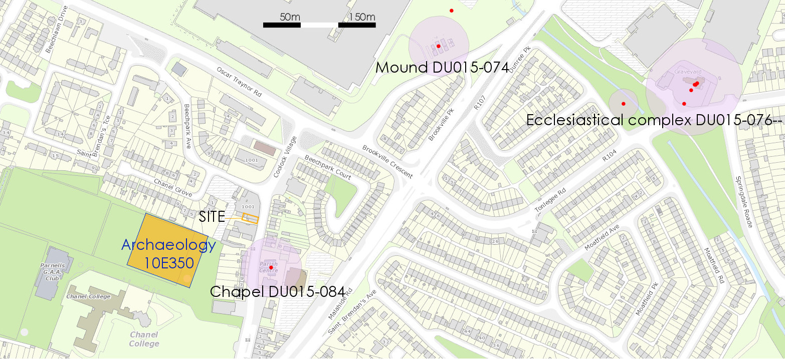
A programme of monitoring was carried out at a development site in Coolock, Dublin 5. The site is located at the rear of Boylesports, Nos 5 and 6 Main Street, Coolock Village, Dublin 5. Archaeological investigations in 2010-2011 to the south-west of Boylesports (Target 10R117; McLoughlin & Lynch 10E0350 & 10E0510), combined with historical and cartographic evidence, suggested that the centre of a medieval manorial farm of Coolock may be situated very close to the proposed development area. In the event, no medieval archaeology was identified. The remains of a former 19th-century lane and drain leading to a smithy were identified and recorded. All ground works for the development are complete and no further archaeological work is recommended.