2017:848 - A6DD—Derrychrier 2, Derry
County: Derry
Site name: A6DD—Derrychrier 2
Sites and Monuments Record No.: N/A
Licence number: AE/17/114
Author: Colin Dunlop, NAC Ltd.
Author/Organisation Address: 638 Springfield Road, Belfast, BT12 7DY
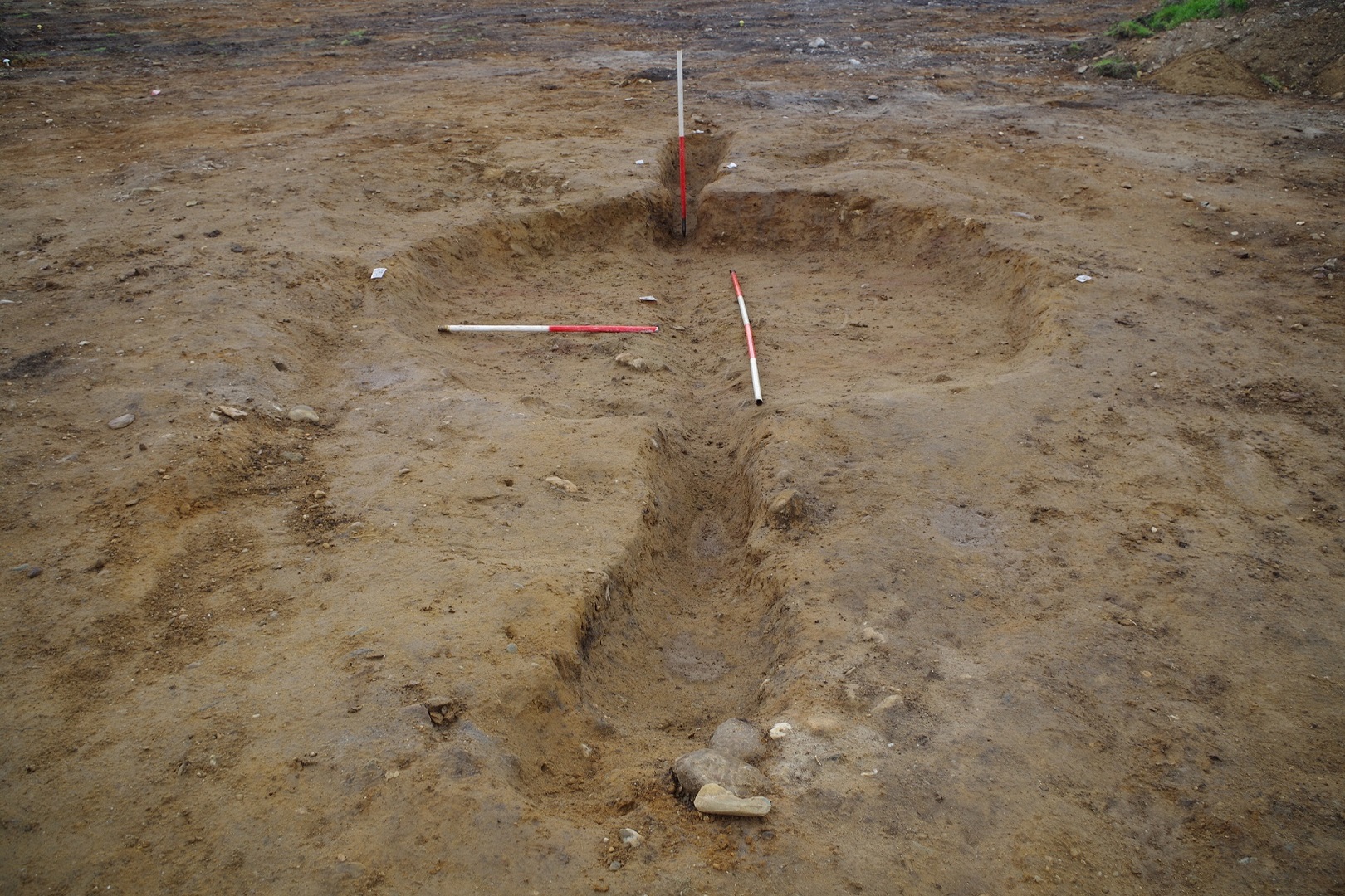
Site type: Pit and Charcoal-making site
Period/Dating: Multi-period
ITM: E 667038m, N 908461m
Latitude, Longitude (decimal degrees): 54.919373, -6.954323
Derrychrier 2 lay between two prehistoric standing stones (LDY 024:005 and 024:006).
The site was bisected by an upstanding north-south running field boundary. To the east of the boundary a total of 16 discrete archaeological features were identified, and a double ditched field boundary. No artefacts were recovered to be able to directly date the archaeological features. The two most significant features in this area were a ring ditch (Feature A) and a potential pyre pit (Feature B). There were also 10 large, irregular, charcoal-rich pits in the south-east, and two large and two smaller pits in the north. These pits were similar to early medieval charcoal-production pits. The pits to the north had been cut by the double-ditched field boundary. This boundary crossed the site and continued east-north-east into Site 19. It appears on the OS 2nd edition maps (c.1860), but is no longer present in the 3rd edition (c.1900). A piece of 19th-century pottery was recovered from this field boundary.
The west side of the site contained two more probable pyre pits (Features C and D) and two small pits. Consistent with Feature B the base and sides of both the probable pyre pits showed evidence for burning in-situ and had similar stone- and charcoal-rich fills. No artefacts were recovered to date these features.