2017:522 - A6, Londonderry to Dungiven Dualling – Site 16, Ovil 2, Derry
County: Derry
Site name: A6, Londonderry to Dungiven Dualling – Site 16, Ovil 2
Sites and Monuments Record No.: N/A
Licence number: AE/17/219
Author: Sarah Nicol
Author/Organisation Address: 638 Springfield Road
Site type: Cairn - field clearance
Period/Dating: Late Medieval (AD 1100-AD 1599)
ITM: E 662940m, N 909028m
Latitude, Longitude (decimal degrees): 54.924999, -7.018110
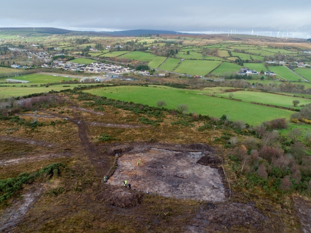
The site was located on the northern slope of Ovil Hill, just off the summit, and approximately 400m south of the current A6 road. The site was uncovered during the excavation and subsequent widening of archaeological test trench TT1751.
The site consisted of an L-shaped bank of stones, partially surrounding a small mound of stone. The L-shaped bank measured c.25m long, east to west by c.18m, its width varied between 1.75m and 1.4m and was approximately 0.35m high. The bank was formed from large and medium-sized stones, with smaller stones inserted in order to stabilise the structure. A variety of different stone types were used, including, but not limited to, schist, gneiss and quartz. A schist rubbing stone and two struck quartz flakes were recovered underneath the stone bank, lying on the surface of the subsoil.
The peat covering the stone deposit returned radiocarbon dates from AD 1492–1603 and AD 1614–1650.