2017:742 - MAWBEG EAST, Cork
County: Cork
Site name: MAWBEG EAST
Sites and Monuments Record No.: CO109-098
Licence number: 17E066
Author: Tony Miller, Lane Purcell Archaeology
Author/Organisation Address: Fr. Mathews Terrace, Cork
Site type: Excavation - miscellaneous
Period/Dating: Modern (AD 1750-AD 2000)
ITM: E 540650m, N 55650m
Latitude, Longitude (decimal degrees): 51.743330, -8.859722
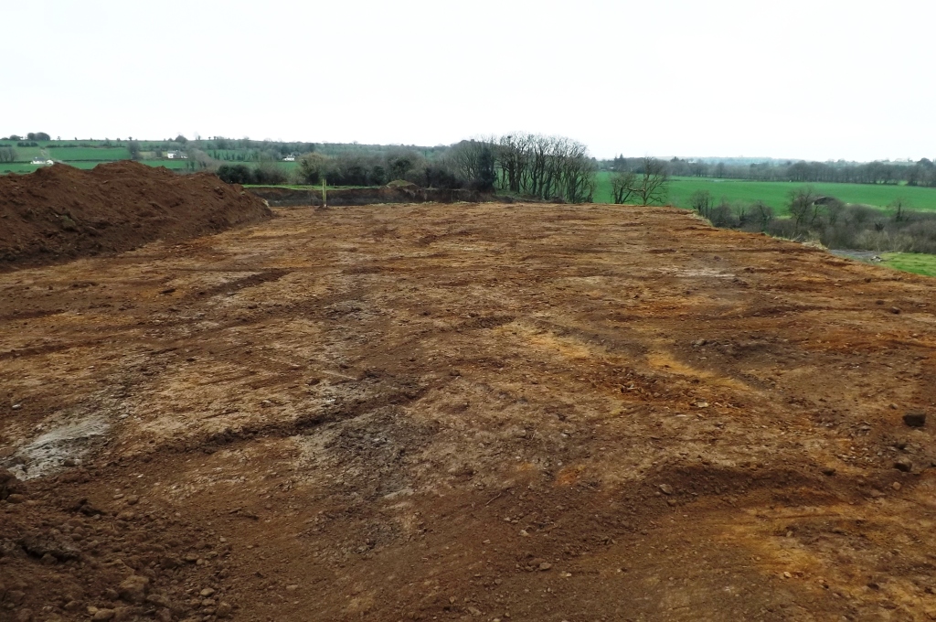
A second phase of monitoring was undertaken of an extension to a gravel quarry. A military camp of the local militia from 1796 is recorded in the general area but with no exact location. During monitoring the stratigraphy was 0.3–0.4m of a light brown, loamy topsoil overlying yellow/orange sands and gravels. A few cultivation features were noted but nothing of archaeological significance. Licensed metal detecting was also carried out but only agricultural material was found.

